alb4092338
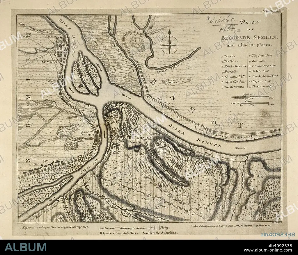
A plan of Belgrade. Plan of Belgrade, S. and adjacent places. 1789. Source: Maps * 44065.(13.). Language: English.
| Partager |
|---|
 Pinterest Pinterest |
 Twitter Twitter |
 Facebook Facebook |
 Copier le lien Copier le lien |
 Email Email |
|
Ajouter à une autre Lightbox |
|
Ajouter à une autre Lightbox |


Avez-vous déjà un compte? S'identifier
Vous n'avez pas de compte ? S'inscrire
Acheter cette image.
Sélectionnez l'usage:

Légende:
Voir la traduction automatique
A plan of Belgrade. Plan of Belgrade, S. and adjacent places. 1789. Source: Maps * 44065.(13.). Language: English.
Personnalités:
Crédit:
Album / British Library
Autorisations:
Modèle: Non - Propriété: Non
Questions sur les droits?
Questions sur les droits?
Taille de l'image:
5918 x 4763 px | 80.6 MB
Taille d'impression:
50.1 x 40.3 cm | 19.7 x 15.9 in (300 dpi)
Mots clés:
