alb6184816
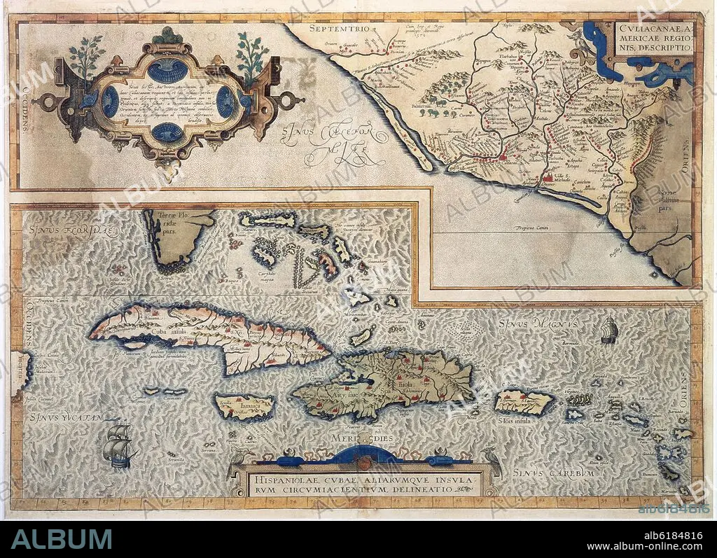
MAPA DE LAS ANTILLAS - 1579 - CARTOGRAFIA SIGLO XVI
 Pinterest
 Twitter
 Facebook
 Copier le lien
 Email
Email


Avez-vous déjà un compte? S'identifier
Vous n'avez pas de compte ? S'inscrire
Acheter cette image.
Sélectionnez l'usage:

Titre:
MAPA DE LAS ANTILLAS - 1579 - CARTOGRAFIA SIGLO XVI
Légende:
Voir la traduction automatique
MAP OF THE ANTILLES - 1579 - 16TH CENTURY
Emplacement:
Crédit:
Album / Oronoz
Autorisations:
Modèle: Non - Propriété: Non
Questions sur les droits?
Questions sur les droits?
Taille de l'image:
6071 x 4409 px | 76.6 MB
Taille d'impression:
51.4 x 37.3 cm | 20.2 x 14.7 in (300 dpi)
Mots clés:
16E SIECLE • 16EME S • CARAIBE • CARAIBES • CARTE (GEOGRAPHIE) • CARTE GEOGRAPHIQUE • CARTE • CARTOGRAPHIE • CUBA • DESSIN PLANS • ECRITURE MANUSCRITS (MSS) • ESPAGNE • FLORIDE • MADRID • MANUSCRITS • MUSEO DE AMERICA-COLECCION • PLAN (CARTOGRAPHIE) • PLANS • SCIENCE: CARTOGRAPHIE • SEIZIÈME SIÈCLE • XVIE SIECLE
