alb9231403
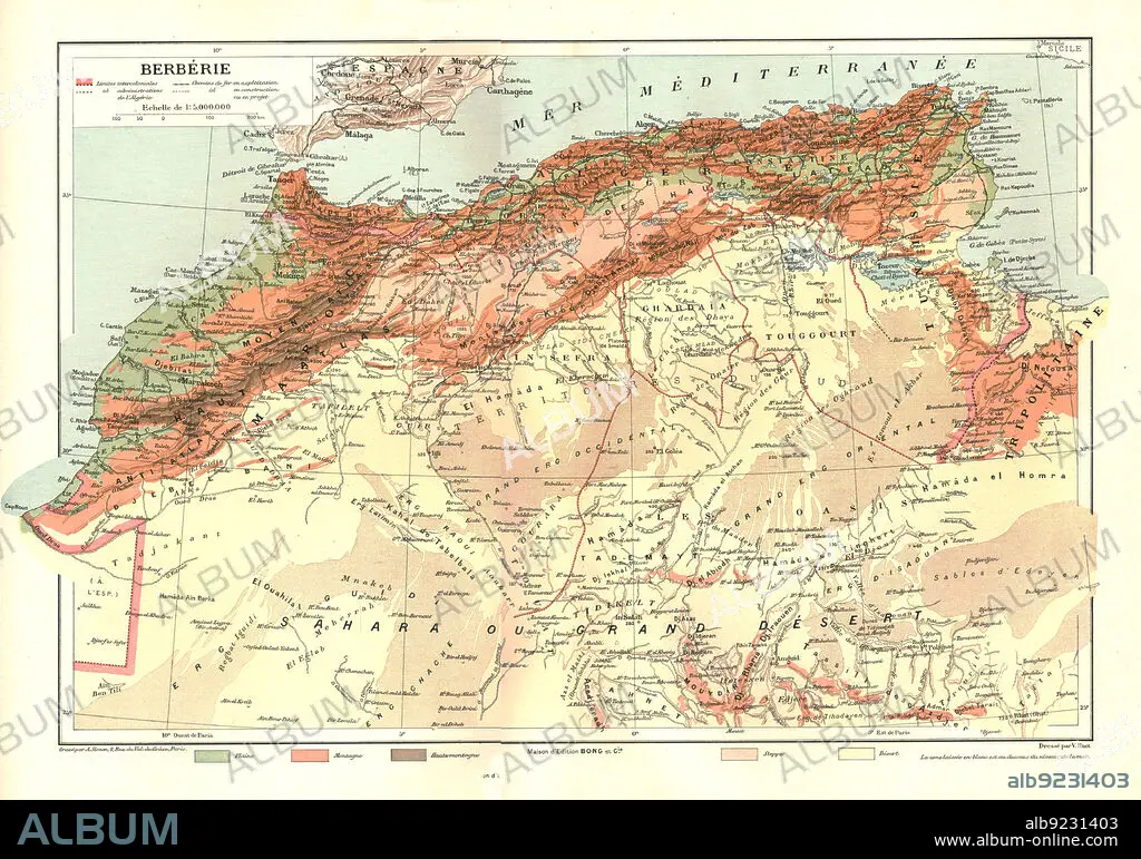
''Relief Map of Berberie', 1914. Creator: Unknown.
| Partager |
|---|
 Pinterest Pinterest |
 Twitter Twitter |
 Facebook Facebook |
 Copier le lien Copier le lien |
 Email Email |
|
Ajouter à une autre Lightbox |
|
Ajouter à une autre Lightbox |


Avez-vous déjà un compte? S'identifier
Vous n'avez pas de compte ? S'inscrire
Acheter cette image.
Sélectionnez l'usage:

Titre:
''Relief Map of Berberie', 1914. Creator: Unknown.
Légende:
Voir la traduction automatique
''Relief Map of Berberie', 1914. From "Grande Geographie Bong Illustree", 1914.
Technique/matériel:
engraving
Crédit:
Album / The Print Collector/Heritage Images
Autorisations:
Modèle: Non - Propriété: Non
Questions sur les droits?
Questions sur les droits?
Taille de l'image:
4865 x 3413 px | 47.5 MB
Taille d'impression:
41.2 x 28.9 cm | 16.2 x 11.4 in (300 dpi)
Mots clés:
AFRIQUE • ANNEES 1910 • CARTE • CARTOGRAPHIE • CHAINE DE MONTAGNES • COLONIALISME • COLONIE • CORDILLÈRE • COULEUR • GEOGRAPHIE • MAROC • MASSIF • MÉDITERRANÉE • MER • OCEAN ATLANTIQUE • OCEAN • PAYSAGE MARITIME • SAHARA • SCIENCE: CARTOGRAPHIE
