alb1513461
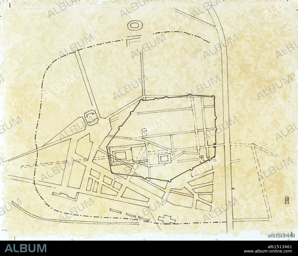
Cartography - Roman civilization. Map of Narbo Martius in the Roman province of Gallia Transalpina (now Narbonne, France). Drawing.
| Partager |
|---|
 Pinterest Pinterest |
 Twitter Twitter |
 Facebook Facebook |
 Copier le lien Copier le lien |
 Email Email |
|
Ajouter à une autre Lightbox |
|
Ajouter à une autre Lightbox |


Avez-vous déjà un compte? S'identifier
Vous n'avez pas de compte ? S'inscrire
Acheter cette image

Légende:
Voir la traduction automatique
Cartography - Roman civilization. Map of Narbo Martius in the Roman province of Gallia Transalpina (now Narbonne, France). Drawing.
Crédit:
Album / DEA PICTURE LIBRARY
Autorisations:
Modèle: Non - Propriété: Non
Questions sur les droits?
Questions sur les droits?
Taille de l'image:
4646 x 3758 px | 50.0 MB
Taille d'impression:
39.3 x 31.8 cm | 15.5 x 12.5 in (300 dpi)
Mots clés:
