alb4203989
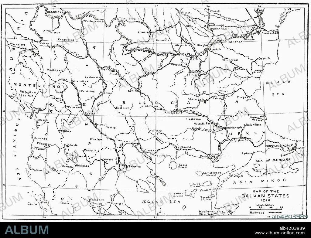
Map of the Balkan States in 1914. From Hutchinson's History of the Nations, published 1915.
| Partager |
|---|
 Pinterest Pinterest |
 Twitter Twitter |
 Facebook Facebook |
 Copier le lien Copier le lien |
 Email Email |
|
Ajouter à une autre Lightbox |
|
Ajouter à une autre Lightbox |


Avez-vous déjà un compte? S'identifier
Vous n'avez pas de compte ? S'inscrire
Acheter cette image.
Sélectionnez l'usage:

Légende:
Voir la traduction automatique
Map of the Balkan States in 1914. From Hutchinson's History of the Nations, published 1915.
Crédit:
Album / Universal Images Group / Universal History Archive
Autorisations:
Modèle: Non - Propriété: Non
Questions sur les droits?
Questions sur les droits?
Taille de l'image:
4961 x 3543 px | 50.3 MB
Taille d'impression:
42.0 x 30.0 cm | 16.5 x 11.8 in (300 dpi)
Mots clés:
ARCHIVE • CARTE (GEOGRAPHIE) • CARTE GEOGRAPHIQUE • CARTE • DESSIN PLANS • FRAVURE • GEOGRAPHIE • GRANDE GUERRE • GRAVURE • GUERRE 14-18 • GUERRE 1914-1918 • GUERRE MONDIALE I • GUERRE • HISOIRE • HISTOIRE • ILLUSTRATION • MONDE • PAYS • PLAN (CARTOGRAPHIE) • PLANS • PREMIERE FOIS • PREMIERE GUERRE MONDIALE (1914-1918) • PREMIERE GUERRE MONDIALE • XXE SIECLE
