alb4078255
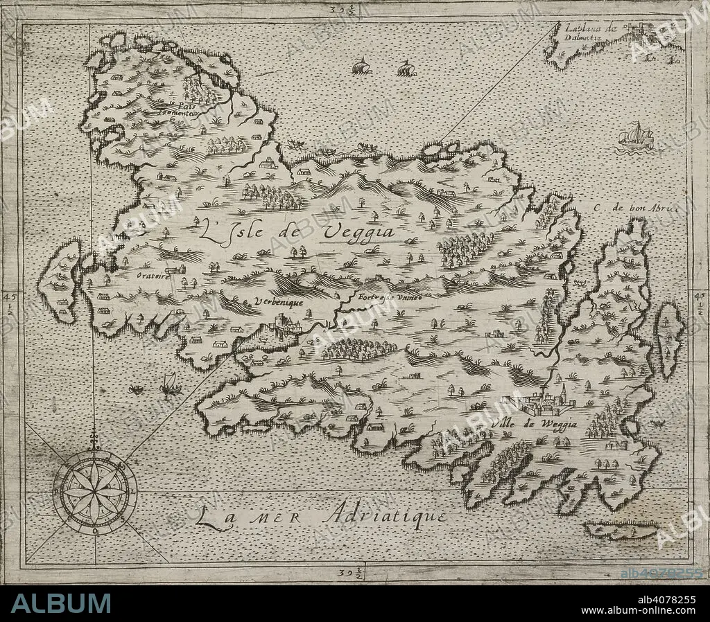
A map of the Isle of Veggia. L'Isle de Veggia. Source: Maps K.Top.113.49. Language: French.
| Partager |
|---|
 Pinterest Pinterest |
 Twitter Twitter |
 Facebook Facebook |
 Copier le lien Copier le lien |
 Email Email |
|
Ajouter à une autre Lightbox |
|
Ajouter à une autre Lightbox |


Avez-vous déjà un compte? S'identifier
Vous n'avez pas de compte ? S'inscrire
Acheter cette image.
Sélectionnez l'usage:

Légende:
Voir la traduction automatique
A map of the Isle of Veggia. L'Isle de Veggia. Source: Maps K.Top.113.49. Language: French.
Crédit:
Album / British Library
Autorisations:
Modèle: Non - Propriété: Non
Questions sur les droits?
Questions sur les droits?
Taille de l'image:
5058 x 4174 px | 60.4 MB
Taille d'impression:
42.8 x 35.3 cm | 16.9 x 13.9 in (300 dpi)
Mots clés:
