alb4946376
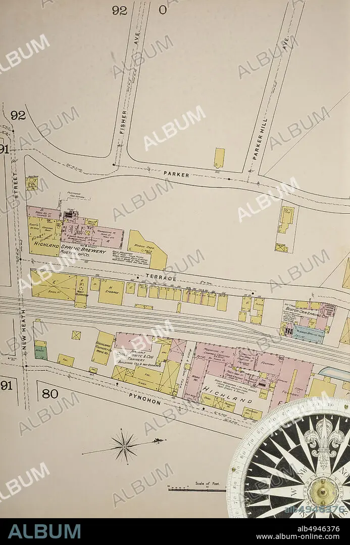
Image 37 of Sanborn Fire Insurance Map from Boston, Suffolk County, Massachusetts. Vol. 3, 1888. 81 Sheet(s). Includes Roxbury, West Roxbury, Parts of Brighton, Brookline. Double-paged plates numbered 62-100. Bound, America, street map with a Nineteenth Century compass.
| Partager |
|---|
 Pinterest Pinterest |
 Twitter Twitter |
 Facebook Facebook |
 Copier le lien Copier le lien |
 Email Email |
|
Ajouter à une autre Lightbox |
|
Ajouter à une autre Lightbox |


Avez-vous déjà un compte? S'identifier
Vous n'avez pas de compte ? S'inscrire
Acheter cette image

Légende:
Voir la traduction automatique
Image 37 of Sanborn Fire Insurance Map from Boston, Suffolk County, Massachusetts. Vol. 3, 1888. 81 Sheet(s). Includes Roxbury, West Roxbury, Parts of Brighton, Brookline. Double-paged plates numbered 62-100. Bound, America, street map with a Nineteenth Century compass
Crédit:
Album / quintlox
Autorisations:
Modèle: Non - Propriété: Non
Questions sur les droits?
Questions sur les droits?
Taille de l'image:
4500 x 6647 px | 85.6 MB
Taille d'impression:
38.1 x 56.3 cm | 15.0 x 22.2 in (300 dpi)
Mots clés:
AMERICAIN (ETATS-UNIS) • AMERICAIN (USA) • AMERIQUE • AMERIQUE, CONTINENT • CARTE • CARTOGRAPHIE • CITE • CONTINENT AMERIQUE • DEHORS • EN PLEINE NATURE • ÉTAS UNIS • ÉTAS-UNIS • ETATS UNIS • ETATS-UNIS • GEOGRAPHIE • MILLESIME • RUE • SCIENCE: CARTOGRAPHIE • TRANSPORT VOYAGE • TRAVERSÉE • U. S. A. • VILE • VILLE • VOYAGE • ŽTATS-UNIS
