alb5474396
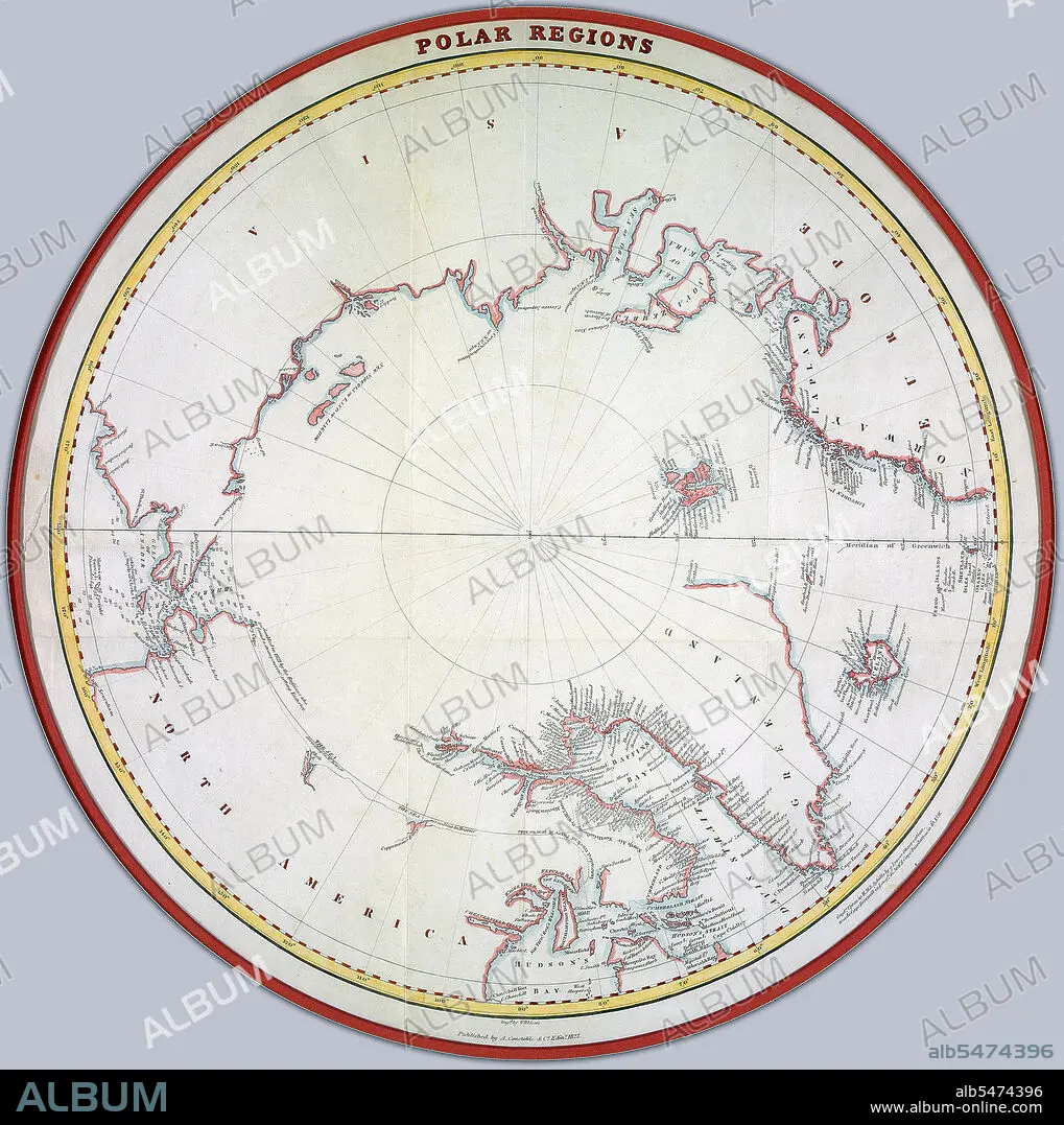
Map of the polar regions ca. 1822 Credit: UBC Library
| Partager |
|---|
 Pinterest Pinterest |
 Twitter Twitter |
 Facebook Facebook |
 Copier le lien Copier le lien |
 Email Email |
|
Ajouter à une autre Lightbox |
|
Ajouter à une autre Lightbox |


Avez-vous déjà un compte? S'identifier
Vous n'avez pas de compte ? S'inscrire
Acheter cette image.
Sélectionnez l'usage:

Titre:
Map of the polar regions ca. 1822 Credit: UBC Library
Légende:
Voir la traduction automatique
Map of the polar regions ca. 1822 Creator: Lizars, William Home, 1788-1859.
Crédit:
Album / HUM Images/Universal Images Group
Autorisations:
Modèle: Non - Propriété: Non
Questions sur les droits?
Questions sur les droits?
Taille de l'image:
1991 x 2000 px | 11.4 MB
Taille d'impression:
16.9 x 16.9 cm | 6.6 x 6.7 in (300 dpi)
Mots clés:
