alb3798904
Island of Ascension, Visited by Darwin
| Partager |
|---|
 Pinterest Pinterest |
 Twitter Twitter |
 Facebook Facebook |
 Copier le lien Copier le lien |
 Email Email |
|
Ajouter à une autre Lightbox |
|
Ajouter à une autre Lightbox |


Avez-vous déjà un compte? S'identifier
Vous n'avez pas de compte ? S'inscrire
Acheter cette image

Titre:
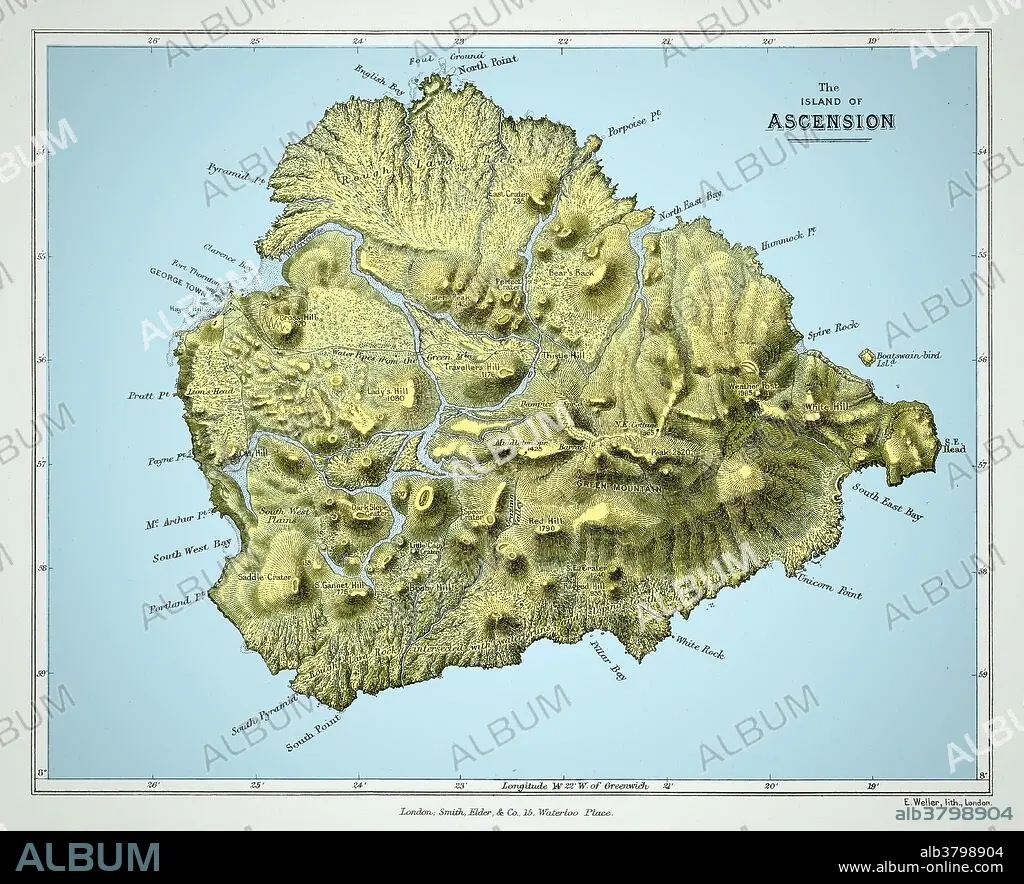
Island of Ascension, Visited by Darwin
Légende:
Voir la traduction automatique
Map of the island of Ascension from Charles Darwin's Geological observations on the volcanic islands and parts of South America visited during the voyage of H.M.S. 'Beagle'. 2d edition. London: Smith Elder and Co., 1876. Ascension Island is an isolated volcanic island in the equatorial waters of the South Atlantic Ocean, around 1,600 kilometres (1,000 mi) from the coast of Africa and 2,250 kilometres (1,400 mi) from the coast of South America, which is roughly midway between the horn of South America and Africa. This image has been color enhanced.
Personnalités:
Crédit:
Album / Science Source / Wellcome Images
Autorisations:
Modèle: Non - Propriété: Non
Questions sur les droits?
Questions sur les droits?
Taille de l'image:
5578 x 4528 px | 72.3 MB
Taille d'impression:
47.2 x 38.3 cm | 18.6 x 15.1 in (300 dpi)
Mots clés:
