alb1461771
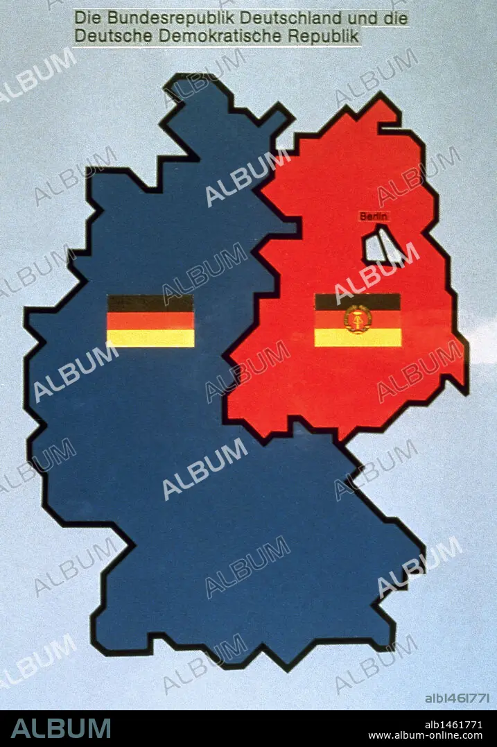
History of Germany (1949-1990). Map of the Federal and Democratic Republic of Germany.
| Partager |
|---|
 Pinterest Pinterest |
 Twitter Twitter |
 Facebook Facebook |
 Copier le lien Copier le lien |
 Email Email |
|
Ajouter à une autre Lightbox |
|
Ajouter à une autre Lightbox |


Avez-vous déjà un compte? S'identifier
Vous n'avez pas de compte ? S'inscrire
Acheter cette image.
Sélectionnez l'usage:

Légende: Voir la traduction automatique
History of Germany (1949-1990). Map of the Federal and Democratic Republic of Germany.
History of Germany (1949-1990). Map of the Federal and Democratic Republic of Germany.
Crédit: Album / Prisma
Autorisations: ? Autorisation de modèle: Non - ? Autorisation de propriété: Non
Questions sur les droits?
Questions sur les droits?
Taille de l'image: 2984 × 4261 px | 36.4 MB
Taille d'impression: 25.3 × 36.1 cm | 1174.8 × 1677.6 in (300 dpi)
Mots clés: 1939-1945 • ALLEMAGNE • ALLEMAND • ALLEMANDE • BERLIN • BLEU • CARTE (GEOGRAPHIE) • CARTE GEOGRAPHIQUE • CARTE • CARTOGRAPHIE • COMMUNISME • COMMUSIME • DESSIN PLANS • DEUX • DEUXIEME GUERRE MONDIALE • DRAPEAU • DRAPEAUX • GUERRE FROIDE • GUERRE MONDIALE II • HISOIRE • HISTOIRE • PLAN (CARTOGRAPHIE) • PLANS • ROUGE • SCIENCE: CARTOGRAPHIE • SECONDE GUERRE MONDIALE
