alb9706638
map, geography, England, Wales, island, historical,
| Partager |
|---|
 Pinterest Pinterest |
 Twitter Twitter |
 Facebook Facebook |
 Copier le lien Copier le lien |
 Email Email |
|
Ajouter à une autre Lightbox |
|
Ajouter à une autre Lightbox |


Avez-vous déjà un compte? S'identifier
Vous n'avez pas de compte ? S'inscrire
Acheter cette image

Titre:
map, geography, England, Wales, island, historical,
Légende:
Voir la traduction automatique
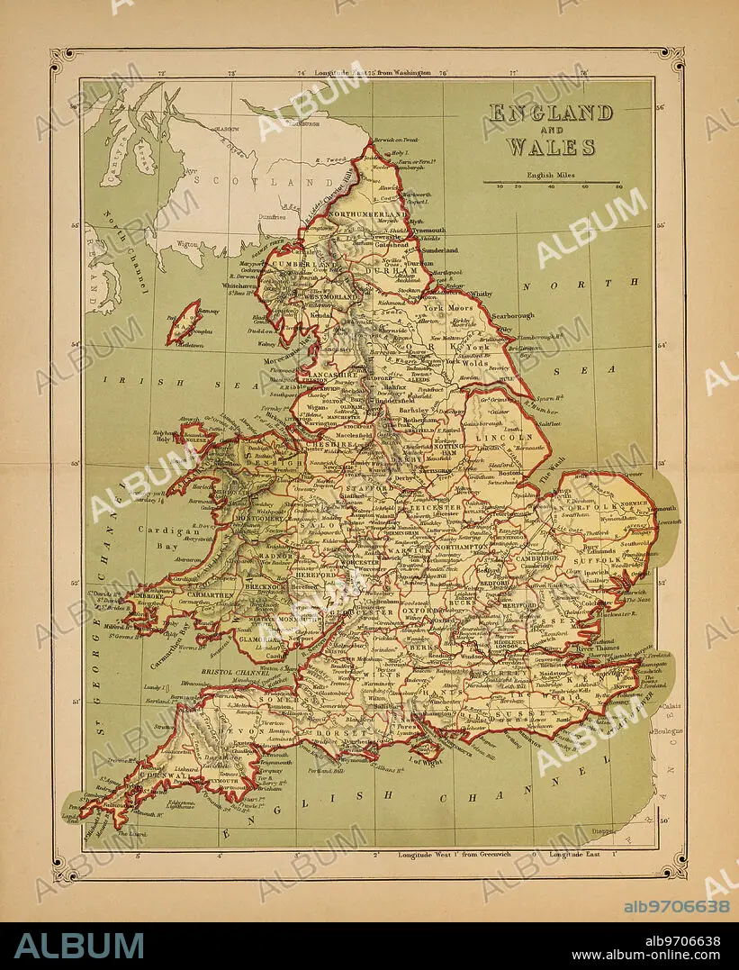
Historical Map of England and Wales
Crédit:
Album / Universal Images Group / JT Vintage / Glasshouse Images
Autorisations:
Modèle: Non - Propriété: Non
Questions sur les droits?
Questions sur les droits?
Taille de l'image:
3698 x 4613 px | 48.8 MB
Taille d'impression:
31.3 x 39.1 cm | 12.3 x 15.4 in (300 dpi)
Mots clés:
ANGLETARRE • ANGLETERE • ANGLETERRE • CARTE (GEOGRAPHIE) • CARTE GEOGRAPHIQUE • CARTE • COULEUR • DESSIN PLANS • EAU • GEOGRAPHIE • GRANDE BERTAGNE • GRANDE BRETAGNE • GRANDE-BRETAGNE • ILE • ÎLES • ILLUSTRATION • INGLATERRA • MILLESIME • OCEAN ATLANTIQUE • PLAN (CARTOGRAPHIE) • PLANS • QUATRE ELEMENTS: EAU • ROYAUME UNI • ROYAUME-UNI • VERTICALE
