alb3936211
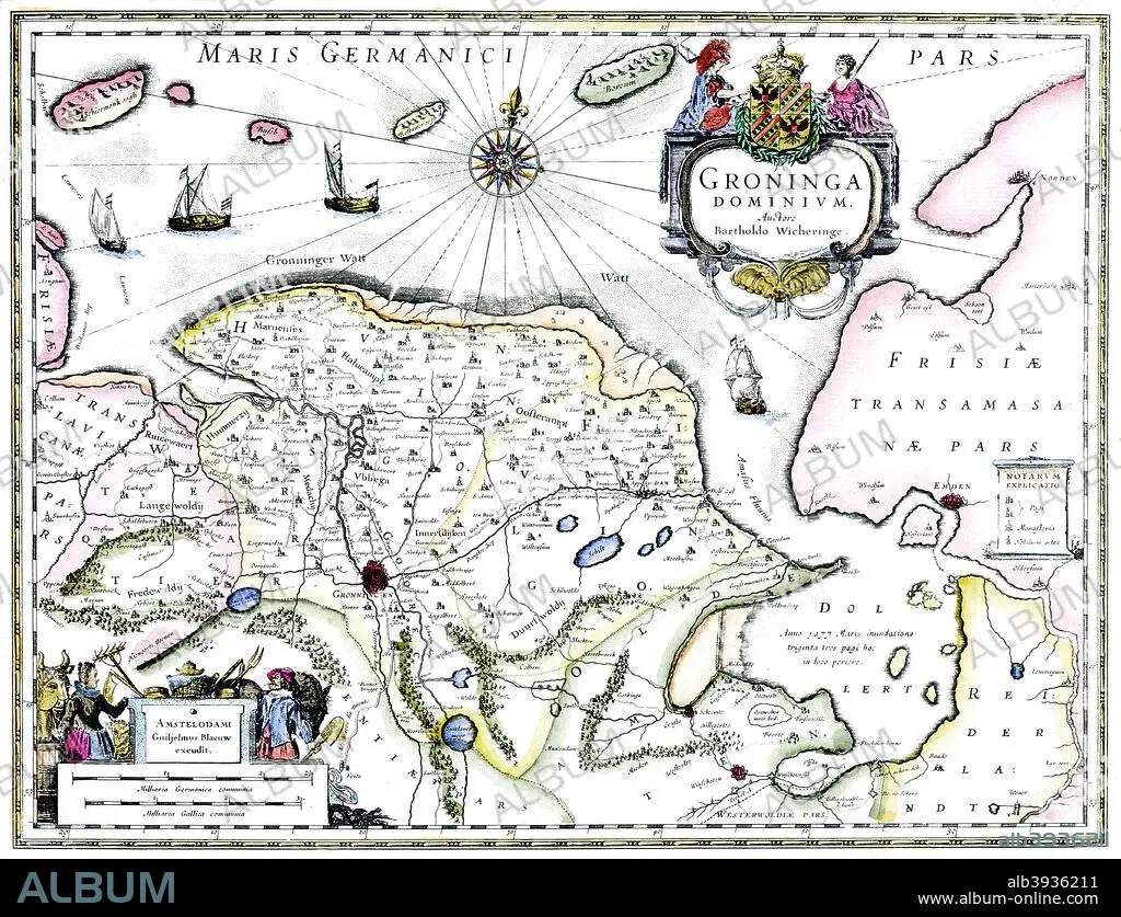
Map of Groningen, Netherlands, 17th century Artist: Unknown
| Partager |
|---|
 Pinterest Pinterest |
 Twitter Twitter |
 Facebook Facebook |
 Copier le lien Copier le lien |
 Email Email |
|
Ajouter à une autre Lightbox |
|
Ajouter à une autre Lightbox |


Avez-vous déjà un compte? S'identifier
Vous n'avez pas de compte ? S'inscrire
Acheter cette image.
Sélectionnez l'usage:

Titre:
Map of Groningen, Netherlands, 17th century Artist: Unknown
Légende:
Voir la traduction automatique
Map of Groningen, Netherlands, 17th century. A map of the Dutch province of Groningen, published by Willem Blaeu after the original design by Barthold Wicheringe.
Crédit:
Album / Print Collector / Heritage Images
Autorisations:
Taille de l'image:
4777 x 3659 px | 50.0 MB
Taille d'impression:
40.4 x 31.0 cm | 15.9 x 12.2 in (300 dpi)
Mots clés:
