alb6127616
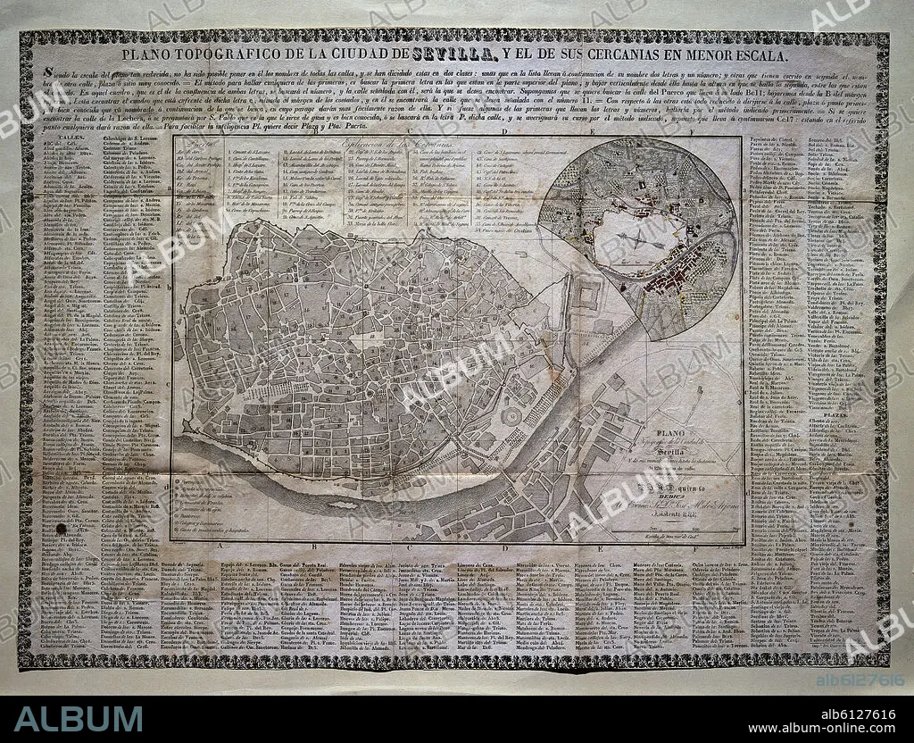
PLANO TOPOGRAFICO DE SEVILLA Y SUS CERCANIAS-S XVIII
| Partager |
|---|
 Pinterest Pinterest |
 Twitter Twitter |
 Facebook Facebook |
 Copier le lien Copier le lien |
 Email Email |
|
Ajouter à une autre Lightbox |
|
Ajouter à une autre Lightbox |


Avez-vous déjà un compte? S'identifier
Vous n'avez pas de compte ? S'inscrire
Acheter cette image

Titre:
PLANO TOPOGRAFICO DE SEVILLA Y SUS CERCANIAS-S XVIII
Légende:
Voir la traduction automatique
Topographical plan of Sevilla and its suburbs. 18th century. Madrid, Private collection
Emplacement:
Crédit:
Album / Oronoz
Autorisations:
Modèle: Non - Propriété: Non
Questions sur les droits?
Questions sur les droits?
Taille de l'image:
4134 x 3145 px | 37.2 MB
Taille d'impression:
35.0 x 26.6 cm | 13.8 x 10.5 in (300 dpi)
Mots clés:
