alb5396813
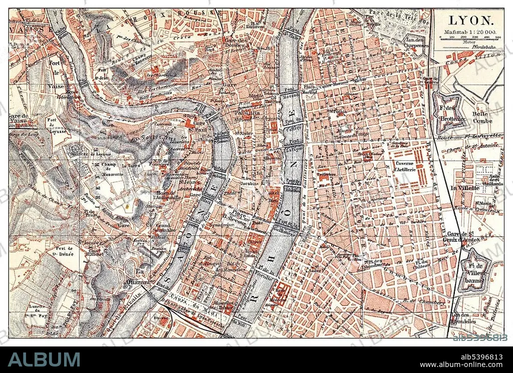
Historical map of Lyon, France, 19th century, from Meyers Konversations-Lexikon encyclopaedia, 1890, Europe.
| Partager |
|---|
 Pinterest Pinterest |
 Twitter Twitter |
 Facebook Facebook |
 Copier le lien Copier le lien |
 Email Email |
|
Ajouter à une autre Lightbox |
|
Ajouter à une autre Lightbox |


Avez-vous déjà un compte? S'identifier
Vous n'avez pas de compte ? S'inscrire
Acheter cette image.
Sélectionnez l'usage:

Légende: Voir la traduction automatique
Historical map of Lyon, France, 19th century, from Meyers Konversations-Lexikon encyclopaedia, 1890, Europe
Historical map of Lyon, France, 19th century, from Meyers Konversations-Lexikon encyclopaedia, 1890, Europe
Crédit: Album / ImageBroker / H.-D. Falkenstein
Autorisations: ? Autorisation de modèle: Non - ? Autorisation de propriété: Non
Questions sur les droits?
Questions sur les droits?
Taille de l'image: 5090 × 3441 px | 50.1 MB
Taille d'impression: 43.1 × 29.1 cm | 2003.9 × 1354.7 in (300 dpi)
Mots clés: CADRE • IMAGES • INTERIEUR: TABLEAUX • LYON • PEINDRE • PEINTURE, SCENES D'INTERIE • PLAN DE VILLE • TABLEAU: SCENES D'INTERIEU • TABLEAUX
