alb4080892
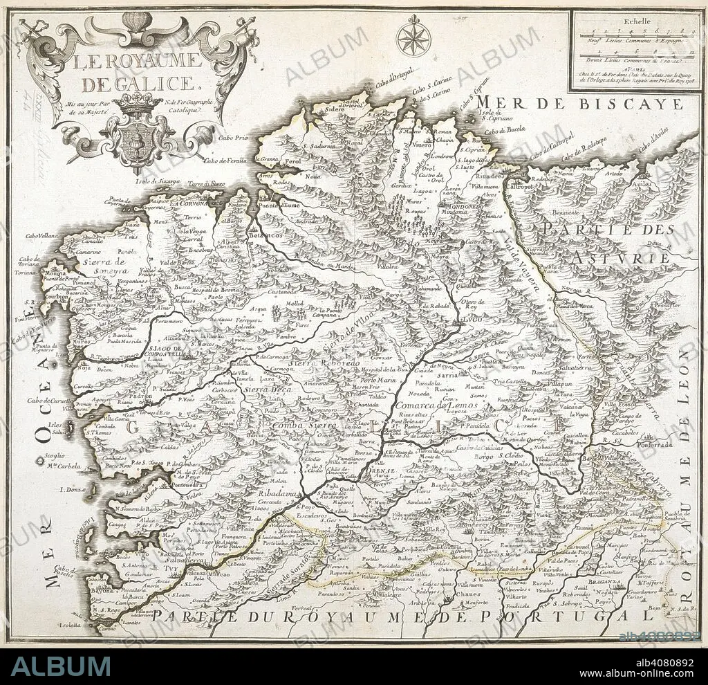
NICOLAS DE FER. A map of the Kingdom of Galicia. Le Royaume de Galice. 1708. Source: Maps K.Top.73.44.
| Partager |
|---|
 Pinterest Pinterest |
 Twitter Twitter |
 Facebook Facebook |
 Copier le lien Copier le lien |
 Email Email |
|
Ajouter à une autre Lightbox |
|
Ajouter à une autre Lightbox |


Avez-vous déjà un compte? S'identifier
Vous n'avez pas de compte ? S'inscrire
Acheter cette image

Auteur:
Légende:
Voir la traduction automatique
A map of the Kingdom of Galicia. Le Royaume de Galice. 1708. Source: Maps K.Top.73.44.
Crédit:
Album / British Library
Autorisations:
Modèle: Non - Propriété: Non
Questions sur les droits?
Questions sur les droits?
Taille de l'image:
6984 x 6394 px | 127.8 MB
Taille d'impression:
59.1 x 54.1 cm | 23.3 x 21.3 in (300 dpi)
Mots clés:
