alb9843503
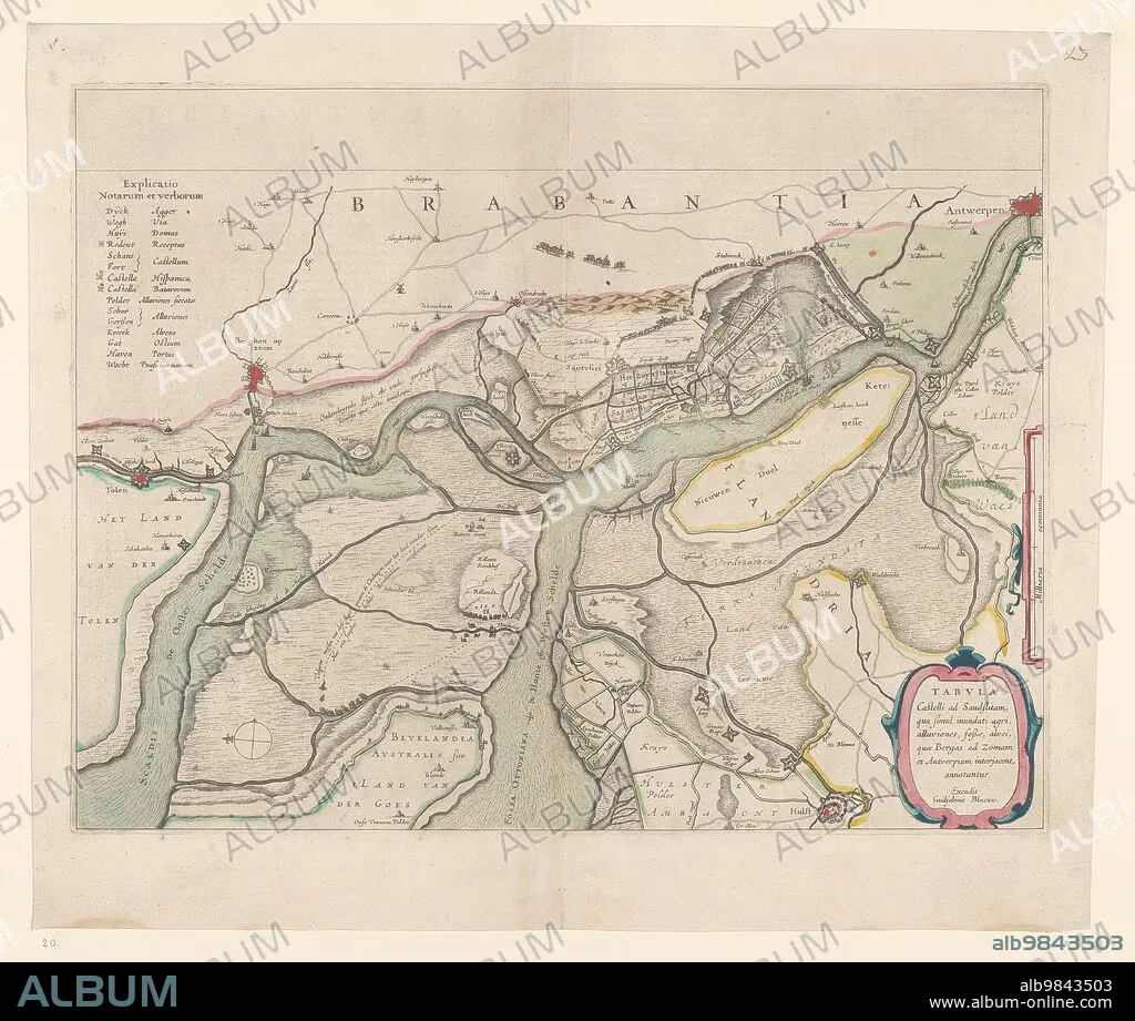
WILLEM BLAEU. Map of the surroundings of Zandvliet, 1642. Creator: Willem Blaeu.
| Partager |
|---|
 Pinterest Pinterest |
 Twitter Twitter |
 Facebook Facebook |
 Copier le lien Copier le lien |
 Email Email |
|
Ajouter à une autre Lightbox |
|
Ajouter à une autre Lightbox |


Avez-vous déjà un compte? S'identifier
Vous n'avez pas de compte ? S'inscrire
Acheter cette image.
Sélectionnez l'usage:

Auteur:
Titre:
Map of the surroundings of Zandvliet, 1642. Creator: Willem Blaeu.
Légende:
Voir la traduction automatique
Map of the surroundings of Zandvliet, 1642. The north on the left, the borders coloured, cities, buildings and flags indicated. At the top left Explanation of the symbols on the map.
Crédit:
Album / Heritage Art/Heritage Images
Autorisations:
Modèle: Non - Propriété: Non
Questions sur les droits?
Questions sur les droits?
Taille de l'image:
4974 x 4214 px | 60.0 MB
Taille d'impression:
42.1 x 35.7 cm | 16.6 x 14.0 in (300 dpi)
Mots clés:
