alb4064959
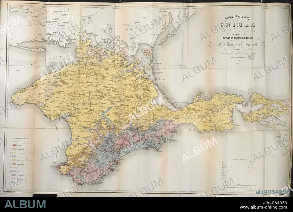
DEMIDOV, ANATOLY NIKOLAEVICH, PRINCE DI SAN DONATO. A 19th century map of the Crimea. Travels in Southern Russia, and the Crimea; through Hungary, Wallachia, & Moldavia, during the year 1837. John Mitchell: London, 1853. Source: 10290.f.2 volume 2,. Language: English.
| Partager |
|---|
 Pinterest Pinterest |
 Twitter Twitter |
 Facebook Facebook |
 Copier le lien Copier le lien |
 Email Email |
|
Ajouter à une autre Lightbox |
|
Ajouter à une autre Lightbox |


Avez-vous déjà un compte? S'identifier
Vous n'avez pas de compte ? S'inscrire
Acheter cette image.
Sélectionnez l'usage:

Légende: Voir la traduction automatique
A 19th century map of the Crimea. Travels in Southern Russia, and the Crimea; through Hungary, Wallachia, & Moldavia, during the year 1837. John Mitchell: London, 1853. Source: 10290.f.2 volume 2,. Language: English.
A 19th century map of the Crimea. Travels in Southern Russia, and the Crimea; through Hungary, Wallachia, & Moldavia, during the year 1837. John Mitchell: London, 1853. Source: 10290.f.2 volume 2,. Language: English.
Crédit: Album / British Library
Autorisations: ? Autorisation de modèle: Non - ? Autorisation de propriété: Non
Questions sur les droits?
Questions sur les droits?
Taille de l'image: 5392 × 3628 px | 56.0 MB
Taille d'impression: 45.7 × 30.7 cm | 2122.8 × 1428.3 in (300 dpi)
Mots clés: ANGLETARRE • ANGLETERE • ANGLETERRE • ARISTOCRATE • ARISTOCRATES, ARISTOCRATIE • CARTE (GEOGRAPHIE) • CARTE GEOGRAPHIQUE • CARTE • CARTOGRAPHIE • COULEUR • COULEURS • DEMIDOV, ANATOLY NIKOLAEVICH, PRINCE DI SAN DONATO • DESSIN PLANS • GRANDE BERTAGNE • GRANDE BRETAGNE • GRANDE-BRETAGNE • INGLATERRA • NOBLE • NOBLES • NOBLESSE • PLAN (CARTOGRAPHIE) • PLANS • PRICE • PRINCE • PRINCES • ROYAUME UNI • ROYAUME-UNI • ROYAUTÉ • RUSSIE • SCIENCE: CARTOGRAPHIE
