alb3904833
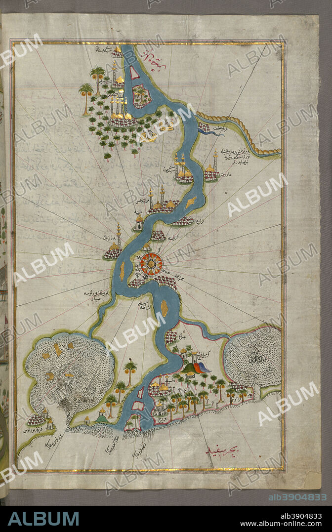
PIRI REIS. Map of the River Nile From Its Estuary South. Date/Period: Ottoman. Illuminated manuscripts; folios (leaves); maps. Ink and pigments on laid European paper ink and pigments on laid European paper. Height: 35.80 mm (1.40 in); Width: 65.50 mm (2.57 in).

|
Ajouter à une autre Lightbox |
|
Ajouter à une autre Lightbox |


Avez-vous déjà un compte? S'identifier
Vous n'avez pas de compte ? S'inscrire
Acheter cette image

Auteur:
Légende:
Voir la traduction automatique
Map of the River Nile From Its Estuary South. Date/Period: Ottoman. Illuminated manuscripts; folios (leaves); maps. Ink and pigments on laid European paper ink and pigments on laid European paper. Height: 35.80 mm (1.40 in); Width: 65.50 mm (2.57 in).
Technique/matériel:
Illuminated manuscripts; folios (leaves); maps
Emplacement:
Walters Art Museum
Crédit:
Album
Autorisations:
Modèle: Non - Propriété: Non
Questions sur les droits?
Questions sur les droits?
Taille de l'image:
4547 x 6933 px | 90.2 MB
Taille d'impression:
38.5 x 58.7 cm | 15.2 x 23.1 in (300 dpi)
 Pinterest
 Twitter
 Facebook
 Copier le lien
 Email
Email
