alb3598719
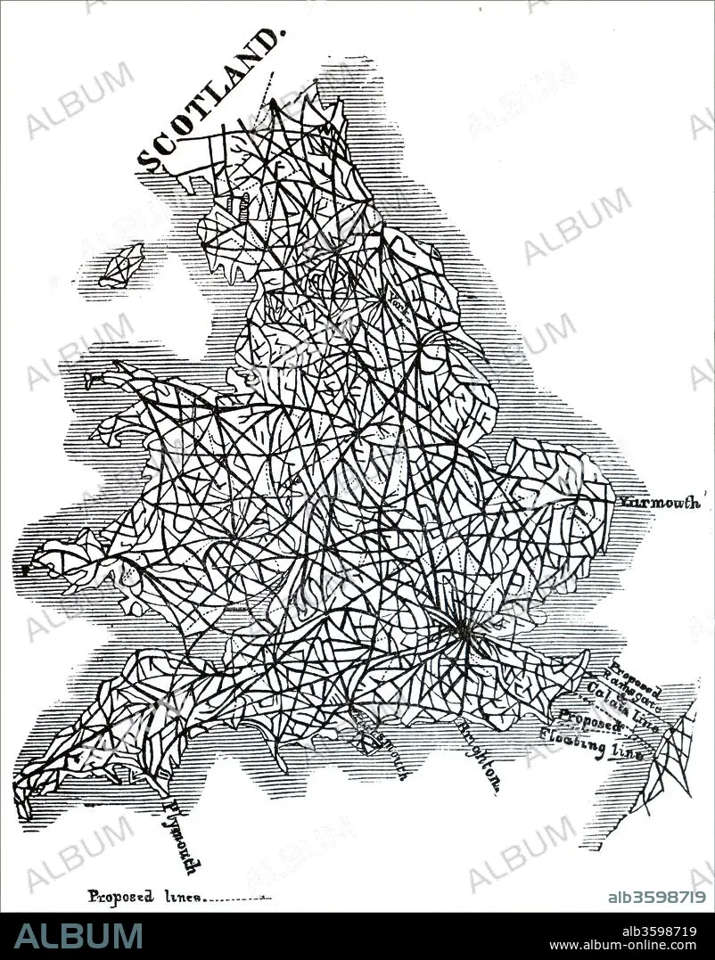
Map of proposed railway lines to run through Britain.
| Partager |
|---|
 Pinterest Pinterest |
 Twitter Twitter |
 Facebook Facebook |
 Copier le lien Copier le lien |
 Email Email |
|
Ajouter à une autre Lightbox |
|
Ajouter à une autre Lightbox |


Avez-vous déjà un compte? S'identifier
Vous n'avez pas de compte ? S'inscrire
Acheter cette image.
Sélectionnez l'usage:

Titre:
Map of proposed railway lines to run through Britain.
Légende:
Voir la traduction automatique
Map of proposed railway lines to run through Britain. Dated 19th century.
Crédit:
Album / Universal Images Group / Universal History Archive
Autorisations:
Taille de l'image:
4052 x 5176 px | 60.0 MB
Taille d'impression:
34.3 x 43.8 cm | 13.5 x 17.3 in (300 dpi)
Mots clés:
ANGLETARRE • ANGLETERE • ANGLETERRE • CARTE (GEOGRAPHIE) • CARTE GEOGRAPHIQUE • CARTE • DESSIN PLANS • ECOSSE • GRANDE BERTAGNE • GRANDE BRETAGNE • GRANDE-BRETAGNE • INGLATERRA • PLAN (CARTOGRAPHIE) • PLANS • ROYAUME UNI • ROYAUME-UNI • TRAIN • TRAINS • TRAIT • TRANSPORT TRAIN • TRANSPORT • VICTORIEN • VICTORIENNE • XIXE SIÈCLE
