alb9389679
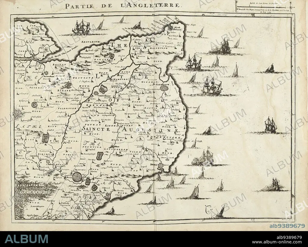
Map of Southwest England, 1709, Partie de l'Angleterre (title on object), Map of Southwest England, 1709. Part of a bundled collection of plans of battles and cities renowned in the War of the Spanish Succession. This plate is among the first 24 plates that make up a very large map of the Southern Netherlands., print maker: Jacobus Harrewijn (mentioned on object), publisher: Eugene Henry Fricx (mentioned on object), Brussels, 1709, paper, etching, height 445 mm × width 565 mm.
| Partager |
|---|
 Pinterest Pinterest |
 Twitter Twitter |
 Facebook Facebook |
 Copier le lien Copier le lien |
 Email Email |
|
Ajouter à une autre Lightbox |
|
Ajouter à une autre Lightbox |


Avez-vous déjà un compte? S'identifier
Vous n'avez pas de compte ? S'inscrire
Acheter cette image.
Sélectionnez l'usage:

Légende:
Voir la traduction automatique
Map of Southwest England, 1709, Partie de l'Angleterre (title on object), Map of Southwest England, 1709. Part of a bundled collection of plans of battles and cities renowned in the War of the Spanish Succession. This plate is among the first 24 plates that make up a very large map of the Southern Netherlands., print maker: Jacobus Harrewijn (mentioned on object), publisher: Eugene Henry Fricx (mentioned on object), Brussels, 1709, paper, etching, height 445 mm × width 565 mm
Personnalités:
Crédit:
Album / quintlox
Autorisations:
Taille de l'image:
5560 x 4188 px | 66.6 MB
Taille d'impression:
47.1 x 35.5 cm | 18.5 x 14.0 in (300 dpi)
Mots clés:
