alb3547973
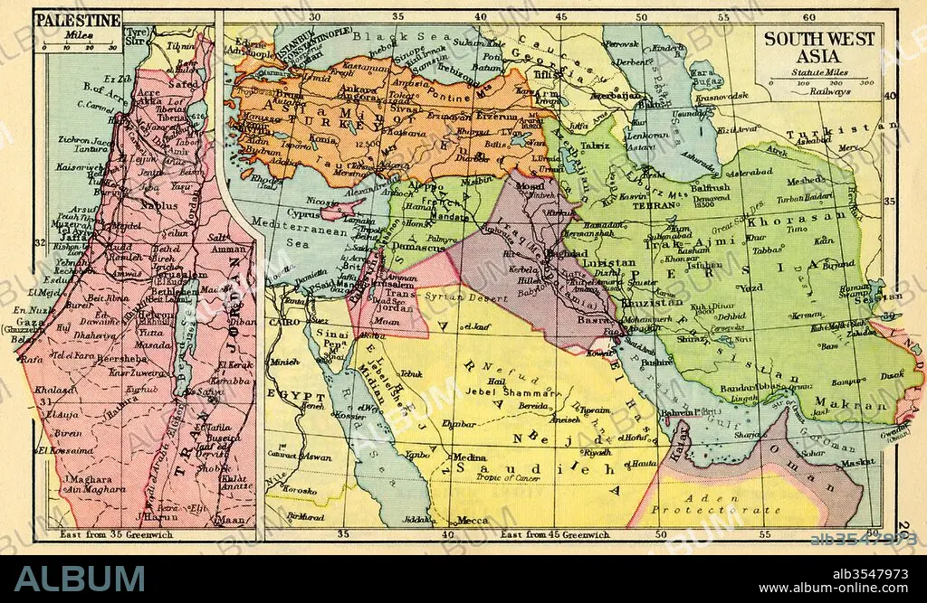
A 1930's map of Palestine, left and south west Asia, right
| Partager |
|---|
 Pinterest Pinterest |
 Twitter Twitter |
 Facebook Facebook |
 Copier le lien Copier le lien |
 Email Email |
|
Ajouter à une autre Lightbox |
|
Ajouter à une autre Lightbox |


Avez-vous déjà un compte? S'identifier
Vous n'avez pas de compte ? S'inscrire
Acheter cette image.
Sélectionnez l'usage:

Titre: A 1930's map of Palestine, left and south west Asia, right
Légende: Voir la traduction automatique
A 1930's map of Palestine, left and south west Asia, right.
A 1930's map of Palestine, left and south west Asia, right.
Crédit: Album / Universal Images Group / Universal History Archive
Autorisations: ? Autorisation de modèle: Non - ? Autorisation de propriété: Non
Questions sur les droits?
Questions sur les droits?
Taille de l'image: 5797 × 3478 px | 57.7 MB
Taille d'impression: 49.1 × 29.4 cm | 2282.3 × 1369.3 in (300 dpi)
Mots clés: ASIE • ASIE, CONTINENT • CARTE (GEOGRAPHIE) • CARTE GEOGRAPHIQUE • CARTE • CONTINENT ASIE • DESSIN PLANS • GEOGRAPHIE • HISOIRE • HISTOIRE • ILLUSTRATION • OUEST • PALESTINE • PAYS • PLAN (CARTOGRAPHIE) • PLANS • SUD • XXE SIECLE
