alb4397710
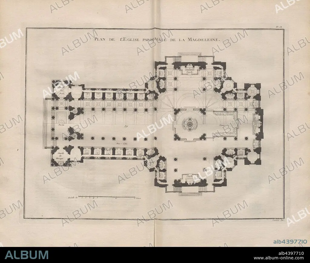
Map of The Parish Church of La Magdeleine, Illustration of the plan of the church La Madeleine from the 18th century, signed: Contant Inv, Pl. IX, after p. 128, Contant (inv.), 1765, Pierre Patte: Monumens érigés en France à la gloire de Louis XV. Paris: chez l'auteur: chez Desaint: chez Saillant, 1765.
| Partager |
|---|
 Pinterest Pinterest |
 Twitter Twitter |
 Facebook Facebook |
 Copier le lien Copier le lien |
 Email Email |
|
Ajouter à une autre Lightbox |
|
Ajouter à une autre Lightbox |


Avez-vous déjà un compte? S'identifier
Vous n'avez pas de compte ? S'inscrire
Acheter cette image.
Sélectionnez l'usage:

Légende: Voir la traduction automatique
Map of The Parish Church of La Magdeleine, Illustration of the plan of the church La Madeleine from the 18th century, signed: Contant Inv, Pl. IX, after p. 128, Contant (inv.), 1765, Pierre Patte: Monumens érigés en France à la gloire de Louis XV. Paris: chez l'auteur: chez Desaint: chez Saillant, 1765
Map of The Parish Church of La Magdeleine, Illustration of the plan of the church La Madeleine from the 18th century, signed: Contant Inv, Pl. IX, after p. 128, Contant (inv.), 1765, Pierre Patte: Monumens érigés en France à la gloire de Louis XV. Paris: chez l'auteur: chez Desaint: chez Saillant, 1765
Crédit: Album / quintlox
Autorisations: ? Autorisation de modèle: Non - ? Autorisation de propriété: Non
Questions sur les droits?
Questions sur les droits?
Taille de l'image: 5706 × 4543 px | 74.2 MB
Taille d'impression: 48.3 × 38.5 cm | 2246.5 × 1788.6 in (300 dpi)
