alb2214645
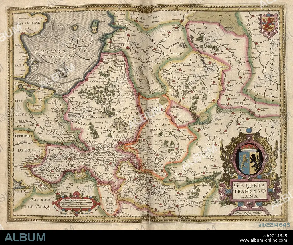
Map of Transylvania, Roumania 1622
| Partager |
|---|
 Pinterest Pinterest |
 Twitter Twitter |
 Facebook Facebook |
 Copier le lien Copier le lien |
 Email Email |
|
Ajouter à une autre Lightbox |
|
Ajouter à une autre Lightbox |


Avez-vous déjà un compte? S'identifier
Vous n'avez pas de compte ? S'inscrire
Acheter cette image.
Sélectionnez l'usage:

Titre:
Map of Transylvania, Roumania 1622
Légende:
Voir la traduction automatique
Transylvania is an historical region in the central part of Romania. Bounded on the east and south by the Carpathian mountain range, historical Transylvania extended in the west to the Apuseni Mountains; however, the term frequently encompasses not only Transylvania proper, but also the historical regions of Crisana, Maramures, and (Romanian) Banat.
Crédit:
Album / Universal Images Group / Universal History Archive/UIG
Autorisations:
Modèle: Non - Propriété: Non
Questions sur les droits?
Questions sur les droits?
Taille de l'image:
7658 x 6024 px | 132.0 MB
Taille d'impression:
64.8 x 51.0 cm | 25.5 x 20.1 in (300 dpi)
Mots clés:
