alb6092579
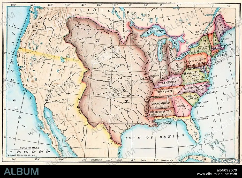
Map of the Louisiana Purchase as
| Partager |
|---|
 Pinterest Pinterest |
 Twitter Twitter |
 Facebook Facebook |
 Copier le lien Copier le lien |
 Email Email |
|
Ajouter à une autre Lightbox |
|
Ajouter à une autre Lightbox |


Avez-vous déjà un compte? S'identifier
Vous n'avez pas de compte ? S'inscrire
Acheter cette image.
Sélectionnez l'usage:

Titre:
Map of the Louisiana Purchase as
Légende:
Voir la traduction automatique
Map of the Louisiana Purchase as understood in 1803, later modified by treaty. Printed color lithograph of a 19thcentury illustration
Crédit:
Album / akg/North Wind Picture Archives
Autorisations:
Taille de l'image:
3364 x 2299 px | 22.1 MB
Taille d'impression:
28.5 x 19.5 cm | 11.2 x 7.7 in (300 dpi)
Mots clés:
AMERIQUE DU NORD • ART (CATÉGORIE) • ART • CARTE (GEOGRAPHIE) • CARTE GEOGRAPHIQUE • CARTE • DESSIN PLANS • ETATS-UNIS D'AMERIQUE (USA) • ETATS-UNIS D'AMERIQUE • EXPEDITION • EXPŽDITION • HISOIRE • HISTOIRE • ILLUSTRATION • LOUISIANE • OREGON • PHOTOGRAPHIE • PLAN (CARTOGRAPHIE) • PLANS • UNITED STATES OF AMERICA • USA • VOYAGE DE DECOUVERTE • VOYAGES EXPEDITIONS • XIXE SIÈCLE
