alb4309558
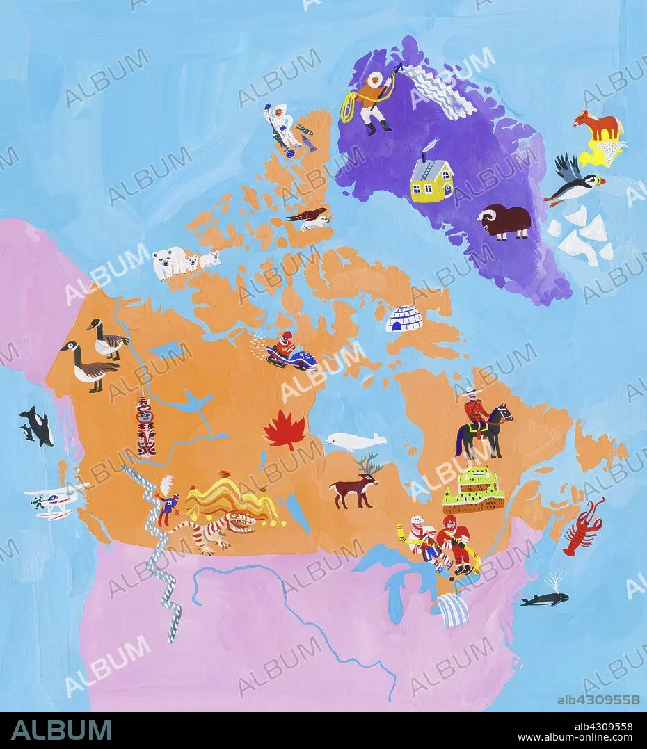
Illustrated map of Canada and Greenland.
| Partager |
|---|
 Pinterest Pinterest |
 Twitter Twitter |
 Facebook Facebook |
 Copier le lien Copier le lien |
 Email Email |
|
Ajouter à une autre Lightbox |
|
Ajouter à une autre Lightbox |


Avez-vous déjà un compte? S'identifier
Vous n'avez pas de compte ? S'inscrire
Acheter cette image.
Sélectionnez l'usage:

Légende:
Voir la traduction automatique
Illustrated map of Canada and Greenland
Crédit:
Album / Ikon images / Christopher Corr
Autorisations:
Taille de l'image:
4016 x 4421 px | 50.8 MB
Taille d'impression:
34.0 x 37.4 cm | 13.4 x 14.7 in (300 dpi)
Mots clés:
ASSORTIMENT • CANADA • CÉLÈBRE • CELEBRITE • DEHORS • EN PLEINE NATURE • GRAOUPE • GROENLAND • GROUPE • HUMAIN • ILLUSTRATION • JOUR • MER • NATIONAL • NATURE • OCEAN • PAYSAGE MARITIME • PERSONNE • SAUVAGE • SELECTION • SPORT • TARDITIONNEL • TRADITION • TRADITIONELLE • TRADITIONNEL • TRANSPORT VOYAGE • TRAVERSÉE • VERTICALE • VOYAGE • VUE A VOL D'OISEAU • VUE AERIENNE
