alb7586073
Venezuela+Antillen 1747
| Partager |
|---|
 Pinterest Pinterest |
 Twitter Twitter |
 Facebook Facebook |
 Copier le lien Copier le lien |
 Email Email |
|
Ajouter à une autre Lightbox |
|
Ajouter à une autre Lightbox |


Avez-vous déjà un compte? S'identifier
Vous n'avez pas de compte ? S'inscrire
Acheter cette image.
Sélectionnez l'usage:

Titre:
Venezuela+Antillen 1747
Légende:
Voir la traduction automatique
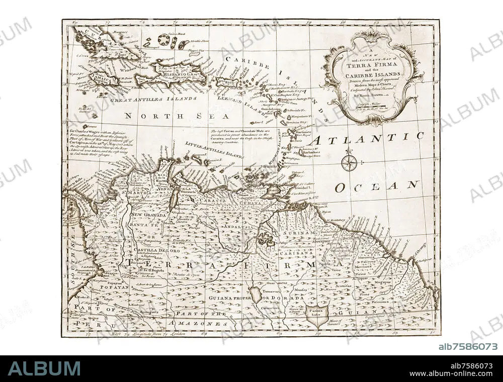
Venezuela+Antillen 1747. Aus: Complete system of geography. Being a description of all the countries, islands, cities, chief towns, harbours, lakes, and rivers, mountains, mines, &c. of the known world. London 1947
Technique/matériel:
ARTS GRAPHIQUES
Crédit:
Album / akg-images / historic-maps
Autorisations:
Modèle: Non - Propriété: Non
Questions sur les droits?
Questions sur les droits?
Taille de l'image:
4961 x 3508 px | 49.8 MB
Taille d'impression:
42.0 x 29.7 cm | 16.5 x 11.7 in (300 dpi)
Mots clés:
