alb3194821
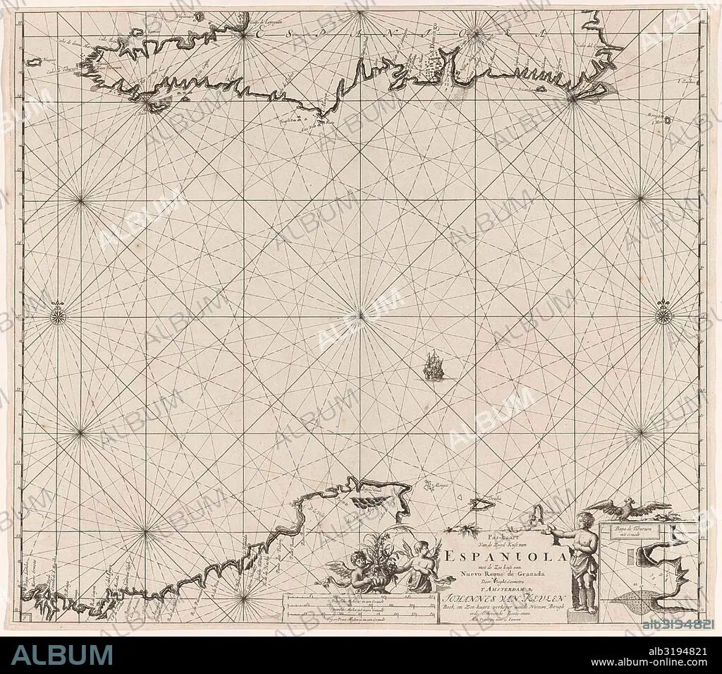
Sea chart of Haiti, the Dominican Republic, Venezuela and Curacao and Aruba.
| Partager |
|---|
 Pinterest Pinterest |
 Twitter Twitter |
 Facebook Facebook |
 Copier le lien Copier le lien |
 Email Email |
|
Ajouter à une autre Lightbox |
|
Ajouter à une autre Lightbox |


Avez-vous déjà un compte? S'identifier
Vous n'avez pas de compte ? S'inscrire
Acheter cette image.
Sélectionnez l'usage:

Légende:
Voir la traduction automatique
Sea chart of Haiti, the Dominican Republic, Venezuela and Curacao and Aruba
Crédit:
Album / quintlox
Autorisations:
Modèle: Non - Propriété: Non
Questions sur les droits?
Questions sur les droits?
Taille de l'image:
4500 x 3965 px | 51.0 MB
Taille d'impression:
38.1 x 33.6 cm | 15.0 x 13.2 in (300 dpi)
Mots clés:
ANGE • ANGEL • ANGES • CARTE (GEOGRAPHIE) • CARTE GEOGRAPHIQUE • CARTE • CARTOGRAPHIE • DESSIN PLANS • ENFANT • FLEUR • FLEURS • GEOGRAPHIE • MER • MONDE • NORD • OCEAN • PAYSAGE MARITIME • PLAN (CARTOGRAPHIE) • PLANS • RÉPUBLIQUE • SCIENCE: CARTOGRAPHIE • SUD
