alb9841624
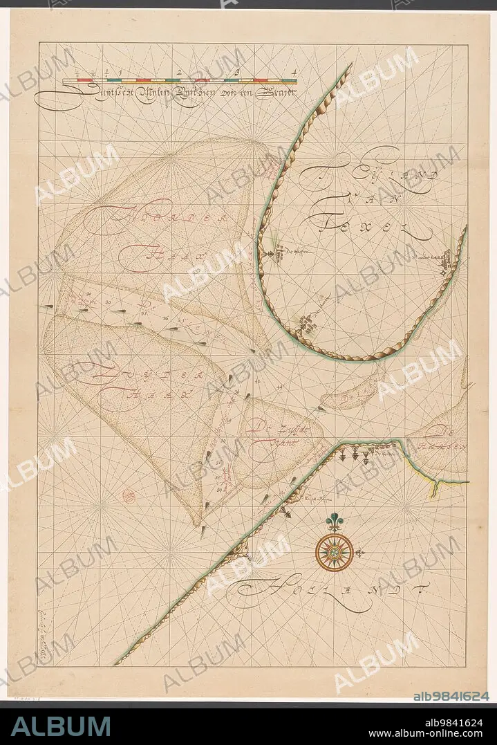
ANON. Map of a part of the head of North Holland, c.1620-c.1699. Creator: Anon.
| Partager |
|---|
 Pinterest Pinterest |
 Twitter Twitter |
 Facebook Facebook |
 Copier le lien Copier le lien |
 Email Email |
|
Ajouter à une autre Lightbox |
|
Ajouter à une autre Lightbox |


Avez-vous déjà un compte? S'identifier
Vous n'avez pas de compte ? S'inscrire
Acheter cette image

Auteur:
Titre:
Map of a part of the head of North Holland, c.1620-c.1699. Creator: Anon.
Légende:
Voir la traduction automatique
Map of a part of the head of North Holland, southern Texel and the surrounding sandbanks, c.1620-c.1699.
Crédit:
Album / Heritage Art/Heritage Images
Autorisations:
Modèle: Non - Propriété: Non
Questions sur les droits?
Questions sur les droits?
Taille de l'image:
4872 x 6940 px | 96.7 MB
Taille d'impression:
41.2 x 58.8 cm | 16.2 x 23.1 in (300 dpi)
Mots clés:
