alb2112722
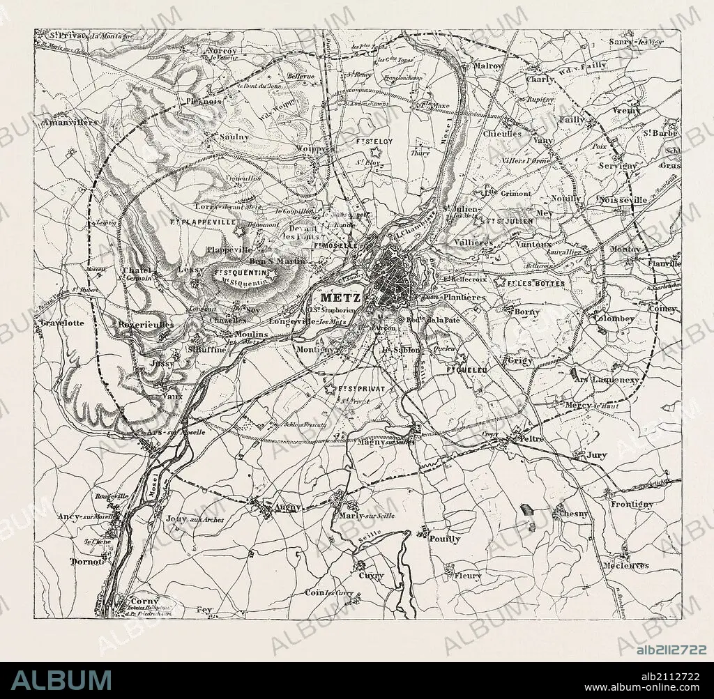
FRANCO-PRUSSIAN WAR: MAP OF VICINITY OF METZ, INDICATING THE POSITION OCCUPIED BY the besieging army 1870.
| Partager |
|---|
 Pinterest Pinterest |
 Twitter Twitter |
 Facebook Facebook |
 Copier le lien Copier le lien |
 Email Email |
|
Ajouter à une autre Lightbox |
|
Ajouter à une autre Lightbox |


Avez-vous déjà un compte? S'identifier
Vous n'avez pas de compte ? S'inscrire
Acheter cette image

Légende:
Voir la traduction automatique
FRANCO-PRUSSIAN WAR: MAP OF VICINITY OF METZ, INDICATING THE POSITION OCCUPIED BY the besieging army 1870
Crédit:
Album / quintlox
Autorisations:
Modèle: Non - Propriété: Non
Questions sur les droits?
Questions sur les droits?
Taille de l'image:
4620 x 4284 px | 56.6 MB
Taille d'impression:
39.1 x 36.3 cm | 15.4 x 14.3 in (300 dpi)
Mots clés:
1870 • ARMEE • ARMÉEE • ARMÉES • CARTE (GEOGRAPHIE) • CARTE GEOGRAPHIQUE • CARTE • DESSIN PLANS • FRAVURE • GRAVURE • HISOIRE • HISTOIRE • METZ • MILLESIME • PLAN (CARTOGRAPHIE) • PLANS • VICTORIEN • VICTORIENNE • XIXE SIÈCLE
