alb5583476
Map / Canary Islands / c. 1900 / Postcard
| Partager |
|---|
 Pinterest Pinterest |
 Twitter Twitter |
 Facebook Facebook |
 Copier le lien Copier le lien |
 Email Email |
|
Ajouter à une autre Lightbox |
|
Ajouter à une autre Lightbox |


Avez-vous déjà un compte? S'identifier
Vous n'avez pas de compte ? S'inscrire
Acheter cette image.
Sélectionnez l'usage:

Titre: Map / Canary Islands / c. 1900 / Postcard
Légende: Voir la traduction automatique
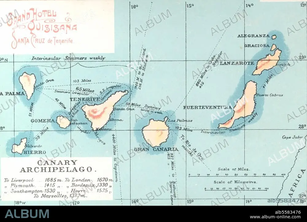
Canary Islands. (Spanish islands off the north-west coast of Africa). Map of the Canary Islands. Photo postcard, c. 1900.
Canary Islands. (Spanish islands off the north-west coast of Africa). Map of the Canary Islands. Photo postcard, c. 1900.
Emplacement: CANARIES, ILES
Crédit: Album / akg-images
Autorisations: ? Autorisation de modèle: Non - ? Autorisation de propriété: Non
Questions sur les droits?
Questions sur les droits?
Taille de l'image: 3364 × 2257 px | 21.7 MB
Taille d'impression: 28.5 × 19.1 cm | 1324.4 × 888.6 in (300 dpi)
Mots clés: 2E MILLENAIRE • CANARIES, ILES • CARTE (GEOGRAPHIE) • CARTE GEOGRAPHIQUE • CARTE • DESSIN PLANS • DEUXIEME MILLENAIRE • GEOGRAPHIE • PLAN (CARTOGRAPHIE) • PLANS • TOPOGRAPHIE • XIXE SIÈCLE
