alb4280456
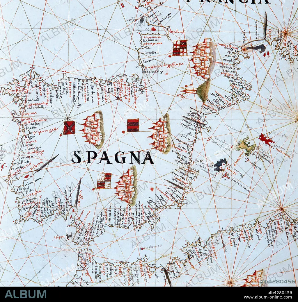
Joan Oliva / Nautical Atlas of the Mediterranean, 1592. Inv. 3233.
| Partager |
|---|
 Pinterest Pinterest |
 Twitter Twitter |
 Facebook Facebook |
 Copier le lien Copier le lien |
 Email Email |
|
Ajouter à une autre Lightbox |
|
Ajouter à une autre Lightbox |


Avez-vous déjà un compte? S'identifier
Vous n'avez pas de compte ? S'inscrire
Acheter cette image.
Sélectionnez l'usage:

Auteur:
Légende:
Voir la traduction automatique
Joan Oliva / Nautical Atlas of the Mediterranean, 1592. Inv. 3233.
Musée:
Museu Marítim, Barcelona
Crédit:
Album / Ramon Manent
Autorisations:
Modèle: Non - Propriété: Non
Questions sur les droits?
Questions sur les droits?
Taille de l'image:
3000 x 2890 px | 24.8 MB
Taille d'impression:
25.4 x 24.5 cm | 10.0 x 9.6 in (300 dpi)
Mots clés:
