alb4057772
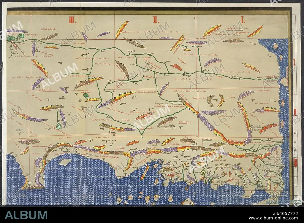
World map. Charta Rogeriana--Weltkarte des Idrisi--vom Jahr 1. Stuttgart, 1928. Section of Idrisi world map. Image taken from Charta Rogeriana--Weltkarte des Idrisi--vom Jahr 1154 n. Ch. Wiederhergestellt und herausgegeben von Konrad Miller. (Explanations. pp. 38)..6 Sh. 670 x 450 mm.. Originally published/produced in Stuttgart, 1928. . Source: Maps.856.(6), upper right.
| Partager |
|---|
 Pinterest Pinterest |
 Twitter Twitter |
 Facebook Facebook |
 Copier le lien Copier le lien |
 Email Email |
|
Ajouter à une autre Lightbox |
|
Ajouter à une autre Lightbox |


Avez-vous déjà un compte? S'identifier
Vous n'avez pas de compte ? S'inscrire
Acheter cette image.
Sélectionnez l'usage:

Légende:
Voir la traduction automatique
World map. Charta Rogeriana--Weltkarte des Idrisi--vom Jahr 1. Stuttgart, 1928. Section of Idrisi world map. Image taken from Charta Rogeriana--Weltkarte des Idrisi--vom Jahr 1154 n. Ch. Wiederhergestellt und herausgegeben von Konrad Miller. (Explanations. pp. 38)..6 Sh. 670 x 450 mm.. Originally published/produced in Stuttgart, 1928. . Source: Maps.856.(6), upper right.
Crédit:
Album / British Library
Autorisations:
Taille de l'image:
6132 x 4185 px | 73.4 MB
Taille d'impression:
51.9 x 35.4 cm | 20.4 x 13.9 in (300 dpi)
Mots clés:
