alb2094983
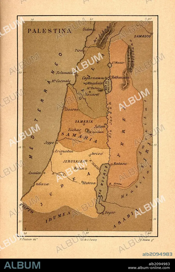
Mapa de Palestina publicado en el libro Historia Universal, de Felipe Picatoste. Madrid, 1890.
| Partager |
|---|
 Pinterest Pinterest |
 Twitter Twitter |
 Facebook Facebook |
 Copier le lien Copier le lien |
 Email Email |
|
Ajouter à une autre Lightbox |
|
Ajouter à une autre Lightbox |


Avez-vous déjà un compte? S'identifier
Vous n'avez pas de compte ? S'inscrire
Acheter cette image.
Sélectionnez l'usage:

Légende: Voir la traduction automatique
Mapa de Palestina publicado en el libro Historia Universal, de Felipe Picatoste. Madrid, 1890
Mapa de Palestina publicado en el libro Historia Universal, de Felipe Picatoste. Madrid, 1890
Personnalités: PROCHE-ORIENT
Crédit: Album / Documenta
Autorisations: ? Autorisation de modèle: Non - ? Autorisation de propriété: Non
Questions sur les droits?
Questions sur les droits?
Taille de l'image: 3616 × 5343 px | 55.3 MB
Taille d'impression: 30.6 × 45.2 cm | 1423.6 × 2103.5 in (300 dpi)
Mots clés: AFRIQUE • ASIE • ASIE, CONTINENT • CARTE (GEOGRAPHIE) • CARTE GEOGRAPHIQUE • CARTE • CONTINENT ASIE • DESSIN PLANS • HISOIRE • HISTOIRE • MEDITERRANEAN • MÉDITERRANÉE • MÉDITERRANNÉE • PALESTINE • PLAN (CARTOGRAPHIE) • PLANS • PROCHE-ORIENT
