alb1470026
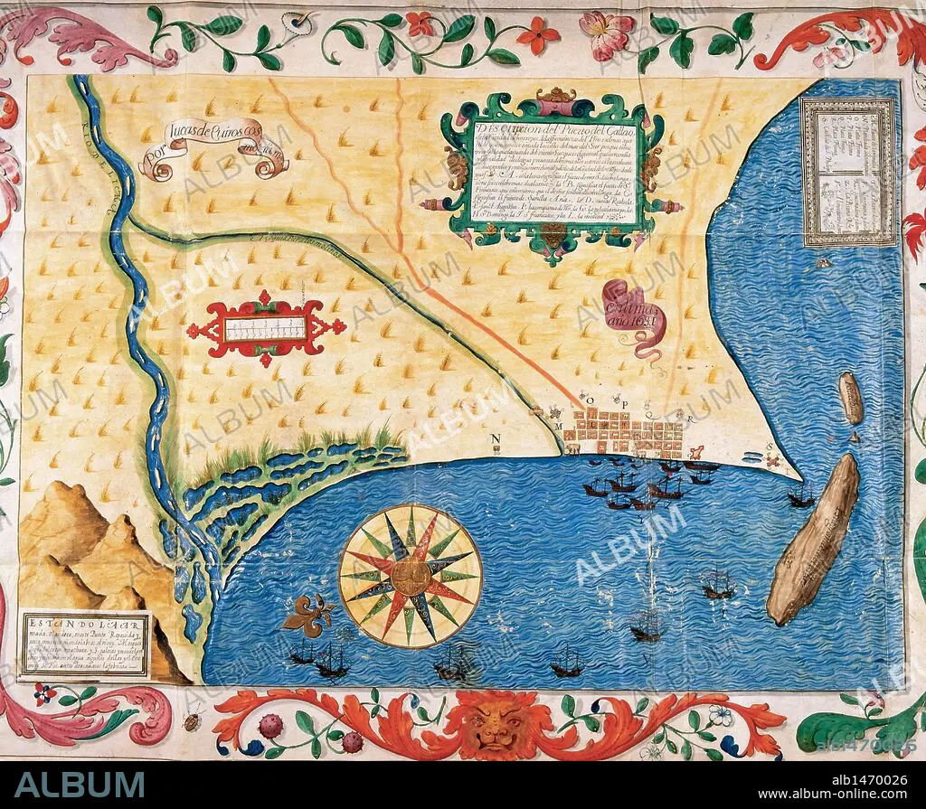
PERU. Port of El Callao, work of the cosmographer Lucas de Quirós, dated 1631.
 Pinterest
 Twitter
 Facebook
 Copier le lien
 Email
Email


Avez-vous déjà un compte? S'identifier
Vous n'avez pas de compte ? S'inscrire
Acheter cette image.
Sélectionnez l'usage:

Titre: PERU. Port of El Callao, work of the cosmographer Lucas de Quirós, dated 1631.
Légende: Voir la traduction automatique
PERU. Port of El Callao, work of the cosmographer Lucas de Quirós, dated 1631. Library of the Royal Palace (National Heritage). Madrid.
PERU. Port of El Callao, work of the cosmographer Lucas de Quirós, dated 1631. Library of the Royal Palace (National Heritage). Madrid.
Crédit: Album / sfgp
Autorisations: ? Autorisation de modèle: Non - ? Autorisation de propriété: Non
Questions sur les droits?
Questions sur les droits?
Taille de l'image: 5840 × 4800 px | 80.2 MB
Taille d'impression: 49.4 × 40.6 cm | 2299.2 × 1889.8 in (300 dpi)
Mots clés: 17E SIECLE • 17EME S • AMÉRCAIN • AMÉRICAIN • AMÉRICAINE • AMÉRICIAN • AMÉRICIANE • AMÉRIQUE DU SUD • ARTISAN • ARTISANAT DIVERS METIERS • ARTISANAT • BATEAU EMBARCATIONS • BATEAUX • CAPITALE • CARTE (GEOGRAPHIE) • CARTE GEOGRAPHIQUE • CARTE • CARTOGRAPHE • CARTOGRAPHIE • COSMOGRAPHE • CÔTE • DESSIN PLANS • DIX-SEPTIÈME SIÈCLE • EMBARCATIONS • EMBARQUEMENT • HISOIRE • HISTOIRE • LITTORAL • MARITIME • MER • METIERS ARTISANAT • METROPOLE • OBJETS D'ART • OCEAN PACIFIQUE • OCEAN • PACIFIQUE, OCEAN • PAYSAGE MARITIME • PEROU • PÉRUVIEN • PLAN (CARTOGRAPHIE) • PLANS • SCIENCE: CARTOGRAPHIE • SUD AMERICAIN • XVIIE SIECLE
