alb2144292
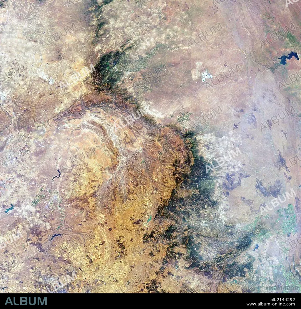
Image is a nadir camera view of the area around Kruger National Park in northeastern South Africa. Aug. 18, 2010. Satellite image.
| Partager |
|---|
 Pinterest Pinterest |
 Twitter Twitter |
 Facebook Facebook |
 Copier le lien Copier le lien |
 Email Email |
|
Ajouter à une autre Lightbox |
|
Ajouter à une autre Lightbox |


Avez-vous déjà un compte? S'identifier
Vous n'avez pas de compte ? S'inscrire
Acheter cette image.
Sélectionnez l'usage:

Titre:
Image is a nadir camera view of the area around Kruger National Park in northeastern South Africa. Aug. 18, 2010. Satellite image.
Légende:
Voir la traduction automatique
Image is a nadir camera view of the area around Kruger National Park in northeastern South Africa. Aug. 18, 2010. Satellite image. (Photo by: Universal History Archive/UIG via Getty Images)
Crédit:
Album / Universal Images Group / Universal Science Images \ UIG
Autorisations:
Modèle: Non - Propriété: Non
Questions sur les droits?
Questions sur les droits?
Taille de l'image:
4238 x 4123 px | 50.0 MB
Taille d'impression:
35.9 x 34.9 cm | 14.1 x 13.7 in (300 dpi)
Mots clés:
