alb1460066
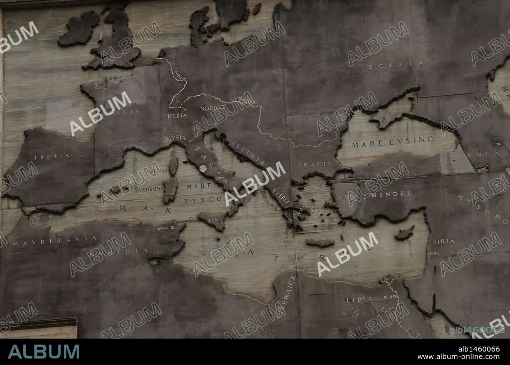
Relief map showing the Roman Expansion in the 8th century B.C. The founding of Rome. Imperial Forum. Rome. Italy.
| Partager |
|---|
 Pinterest Pinterest |
 Twitter Twitter |
 Facebook Facebook |
 Copier le lien Copier le lien |
 Email Email |
|
Ajouter à une autre Lightbox |
|
Ajouter à une autre Lightbox |


Avez-vous déjà un compte? S'identifier
Vous n'avez pas de compte ? S'inscrire
Acheter cette image.
Sélectionnez l'usage:

Légende: Voir la traduction automatique
Relief map showing the Roman Expansion in the 8th century B.C. The founding of Rome. Imperial Forum. Rome. Italy.
Relief map showing the Roman Expansion in the 8th century B.C. The founding of Rome. Imperial Forum. Rome. Italy.
Personnalités: BENITO MUSSOLINI (1883-1945)
Crédit: Album / Prisma
Autorisations: ? Autorisation de modèle: Non - ? Autorisation de propriété: Non
Questions sur les droits?
Questions sur les droits?
Taille de l'image: 4288 × 2848 px | 34.9 MB
Taille d'impression: 36.3 × 24.1 cm | 1688.2 × 1121.3 in (300 dpi)
Mots clés: 8E SIECLE • 8EME S • AFRIQUE DU NORD • ART ROMAIN • BAS-RELIEF • CARTE (GEOGRAPHIE) • CARTE GEOGRAPHIQUE • CARTE • DESSIN PLANS • EMPIRE ROMAIN • EPOQUE ROMAINE • EUROPE • EXPANSION • HISOIRE • HISTOIRE • MARBRE • MUSSOLINI, BENITO • PERIODE: ROME IMPERIALE • PIERRE MARBRE • PLAN (CARTOGRAPHIE) • PLANS • RELIEF • ROMAIN • ROME • ROME, IMPERIALE
