alb3285632
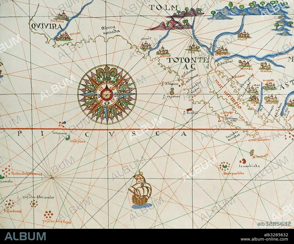
Coast of high and low california and compass rose. Nautical chart. Atlas of Joan Martines, 1587. Dedicated to Philip II. Mallorcan School.
| Partager |
|---|
 Pinterest Pinterest |
 Twitter Twitter |
 Facebook Facebook |
 Copier le lien Copier le lien |
 Email Email |
|
Ajouter à une autre Lightbox |
|
Ajouter à une autre Lightbox |


Avez-vous déjà un compte? S'identifier
Vous n'avez pas de compte ? S'inscrire
Acheter cette image.
Sélectionnez l'usage:

Légende: Voir la traduction automatique
Coast of high and low california and compass rose. Nautical chart. Atlas of Joan Martines, 1587. Dedicated to Philip II. Mallorcan School.
Coast of high and low california and compass rose. Nautical chart. Atlas of Joan Martines, 1587. Dedicated to Philip II. Mallorcan School.
Crédit: Album / Prisma
Autorisations: ? Autorisation de modèle: Non - ? Autorisation de propriété: Non
Questions sur les droits?
Questions sur les droits?
Taille de l'image: 5079 × 3957 px | 57.5 MB
Taille d'impression: 43.0 × 33.5 cm | 1999.6 × 1557.9 in (300 dpi)
Mots clés: 16E SIECLE • 16EME S • AMERIQUE • AMERIQUE, CONTINENT • ART (CATÉGORIE) • ART • CALIFORNIE • CARTE (GEOGRAPHIE) • CARTE GEOGRAPHIQUE • CARTE MARINE • CARTE • CARTOGRAPHIE • CONTINENT AMERIQUE • COSMOGRAPHE • CÔTE • DESSIN PLANS • ESPAGNE • EUROPE • HISOIRE • HISTOIRE • HISTORIQUE • LITTORAL • MARITIME • MER • MEXICO • MEXIQUE • NAVIGATION MARITIME ET FLUVIALE • NAVIGATION • OCEAN • PAYSAGE MARITIME • PLAN (CARTOGRAPHIE) • PLANS • SCIENCE: CARTOGRAPHIE • SEIZIÈME SIÈCLE • XVIE SIECLE
