alb4092734
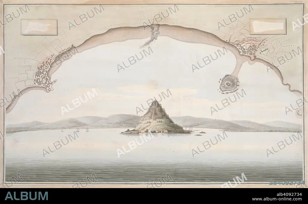
A view of St. Michael's Mount and the adjacent coast, with a plan of the coast of Cornwall from Penzance to Merazion. A colored view of St. Michael's Mount and the adjacent coast, taken from the sea; with a plan of the coast of Cornwall from Penzance to Merazion. ca. 1775-1800. Source: Maps K.Top.9.41.i.
| Partager |
|---|
 Pinterest Pinterest |
 Twitter Twitter |
 Facebook Facebook |
 Copier le lien Copier le lien |
 Email Email |
|
Ajouter à une autre Lightbox |
|
Ajouter à une autre Lightbox |


Avez-vous déjà un compte? S'identifier
Vous n'avez pas de compte ? S'inscrire
Acheter cette image.
Sélectionnez l'usage:

Légende:
Voir la traduction automatique
A view of St. Michael's Mount and the adjacent coast, with a plan of the coast of Cornwall from Penzance to Merazion. A colored view of St. Michael's Mount and the adjacent coast, taken from the sea; with a plan of the coast of Cornwall from Penzance to Merazion. ca. 1775-1800. Source: Maps K.Top.9.41.i.
Crédit:
Album / British Library
Autorisations:
Taille de l'image:
7821 x 4782 px | 107.0 MB
Taille d'impression:
66.2 x 40.5 cm | 26.1 x 15.9 in (300 dpi)
Mots clés:
18 18E 18EME XVIII XVIIIE XVIIIEME SIECLE • 18E SIECLE • 18EME S • ANGLETARRE • ANGLETERE • ANGLETERRE • CHAINE DE MONTAGNES • CORDILLÈRE • CÔTE • DIX-HUITIÈME SIÈCLE • DOCUMENT • GRANDE BERTAGNE • GRANDE BRETAGNE • GRANDE-BRETAGNE • INGLATERRA • LITTORAL • MARITIME • MASSIF • MER • MONT • MONTAGNE • MONTAGNES • OCEAN • PAYSAGE MARITIME AV. PLAGE • PAYSAGE MARITIME • ROYAUME UNI • ROYAUME-UNI • XVIIIE SIECLE
