alb2012088
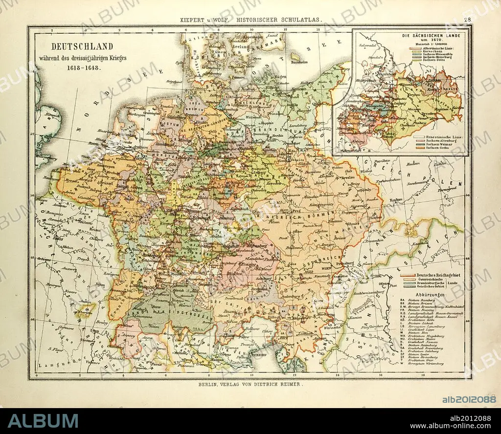
MAP OF GERMANY DURING THE THIRTY YEARS' WAR, 1618 - 1648.
| Partager |
|---|
 Pinterest Pinterest |
 Twitter Twitter |
 Facebook Facebook |
 Copier le lien Copier le lien |
 Email Email |
|
Ajouter à une autre Lightbox |
|
Ajouter à une autre Lightbox |


Avez-vous déjà un compte? S'identifier
Vous n'avez pas de compte ? S'inscrire
Acheter cette image.
Sélectionnez l'usage:

Légende: Voir la traduction automatique
MAP OF GERMANY DURING THE THIRTY YEARS' WAR, 1618 - 1648
MAP OF GERMANY DURING THE THIRTY YEARS' WAR, 1618 - 1648
Crédit: Album / quintlox
Autorisations: ? Autorisation de modèle: Non - ? Autorisation de propriété: Non
Questions sur les droits?
Questions sur les droits?
Taille de l'image: 4656 × 3797 px | 50.6 MB
Taille d'impression: 39.4 × 32.1 cm | 1833.1 × 1494.9 in (300 dpi)
Mots clés: ALLEMAGNE • CARTE (GEOGRAPHIE) • CARTE GEOGRAPHIQUE • CARTE • DESSIN PLANS • GUERRE DE TRENTE ANS • GUERRE TRENTE ANS • PLAN (CARTOGRAPHIE) • PLANS • TRENTE ANS, GUERRE DE
