alb4085389
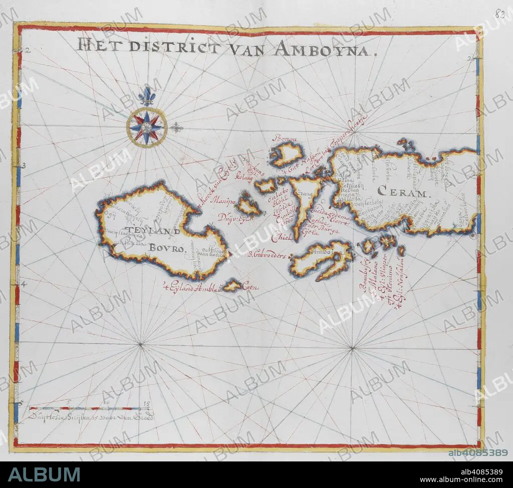
Map showing the islands of Bouro and Ceram (Seram), Indonesia. DUTCH PORTOLANO, containing forty-nine coloured maps and views. 17th century. Source: Add. 34184, f.82.
| Partager |
|---|
 Pinterest Pinterest |
 Twitter Twitter |
 Facebook Facebook |
 Copier le lien Copier le lien |
 Email Email |
|
Ajouter à une autre Lightbox |
|
Ajouter à une autre Lightbox |


Avez-vous déjà un compte? S'identifier
Vous n'avez pas de compte ? S'inscrire
Acheter cette image.
Sélectionnez l'usage:

Légende:
Voir la traduction automatique
Map showing the islands of Bouro and Ceram (Seram), Indonesia. DUTCH PORTOLANO, containing forty-nine coloured maps and views. 17th century. Source: Add. 34184, f.82.
Crédit:
Album / British Library
Autorisations:
Modèle: Non - Propriété: Non
Questions sur les droits?
Questions sur les droits?
Taille de l'image:
4421 x 3977 px | 50.3 MB
Taille d'impression:
37.4 x 33.7 cm | 14.7 x 13.3 in (300 dpi)
Mots clés:
