alb1654527
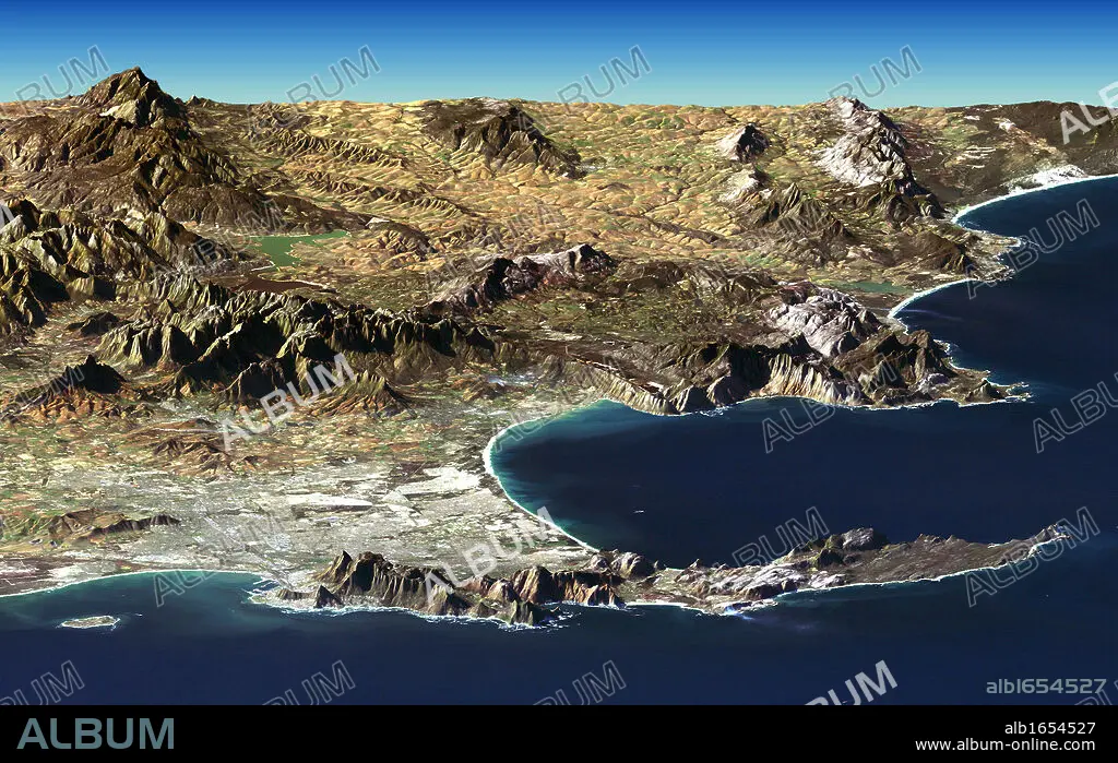
Cape Town and Cape of Good Hope, South Africa, in foreground of perspective view generated from Landsat satellite image and elevation data from the Shuttle Radar Topography Mission (SRTM). Credit NASA. Science Earth Geology.
| Partager |
|---|
 Pinterest Pinterest |
 Twitter Twitter |
 Facebook Facebook |
 Copier le lien Copier le lien |
 Email Email |
|
Ajouter à une autre Lightbox |
|
Ajouter à une autre Lightbox |


Avez-vous déjà un compte? S'identifier
Vous n'avez pas de compte ? S'inscrire
Acheter cette image.
Sélectionnez l'usage:

Légende: Voir la traduction automatique
Cape Town and Cape of Good Hope, South Africa, in foreground of perspective view generated from Landsat satellite image and elevation data from the Shuttle Radar Topography Mission (SRTM). Credit NASA. Science Earth Geology
Cape Town and Cape of Good Hope, South Africa, in foreground of perspective view generated from Landsat satellite image and elevation data from the Shuttle Radar Topography Mission (SRTM). Credit NASA. Science Earth Geology
Crédit: Album / Universal History Archive/Universal Images Group
Autorisations: ? Autorisation de modèle: Non - ? Autorisation de propriété: Non
Questions sur les droits?
Questions sur les droits?
Taille de l'image: 5291 × 3336 px | 50.5 MB
Taille d'impression: 44.8 × 28.2 cm | 2083.1 × 1313.4 in (300 dpi)
Mots clés: AFRIQUE • ASTRONOMIE • CLOSE UP (PORTRAIT RAPPROCHE) • CLOSE UP • CREDIT • ESPERANCE • ESPOIR • GEOLOGIE • METEOROLOGIE • MISSION • NASA • POINT DE VUE • SATELLITE • SCIENCE • SCIENCE: ASTRONOMIE • SCIENCES • SUD • TOPOGRAPHIE • VUE (PANORAMA) • VUE
