alb2200174
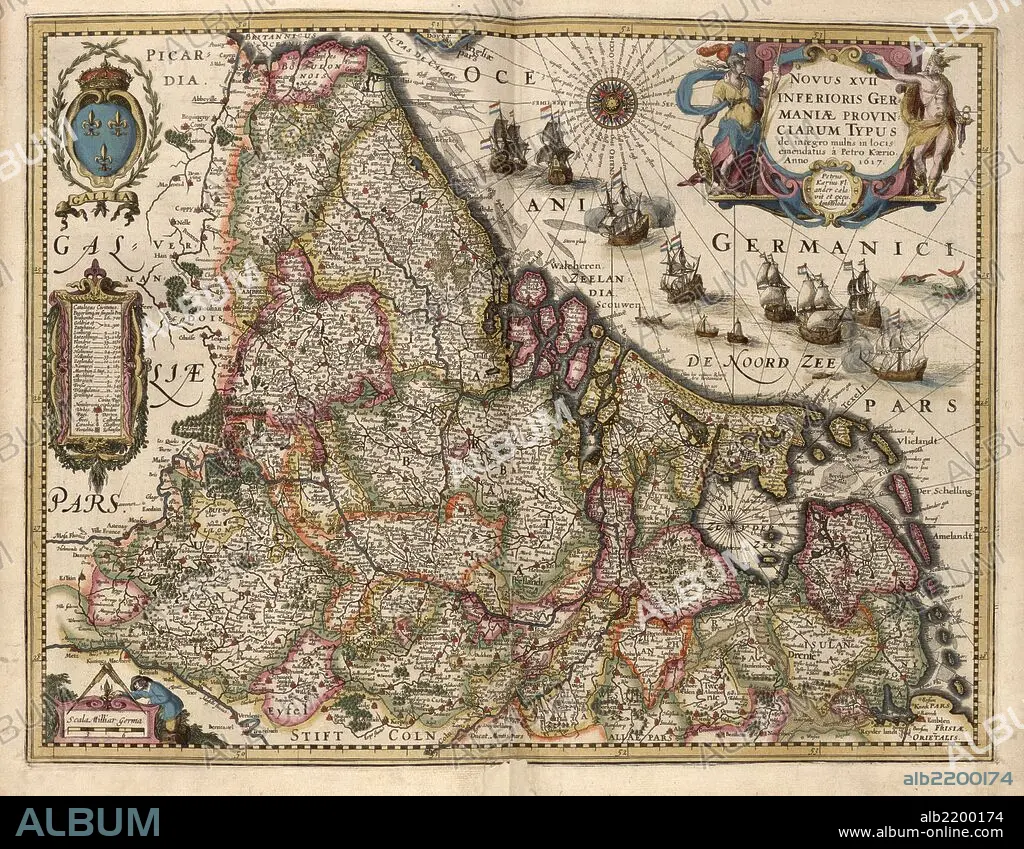
Map of Picardy, France 1622
| Partager |
|---|
 Pinterest Pinterest |
 Twitter Twitter |
 Facebook Facebook |
 Copier le lien Copier le lien |
 Email Email |
|
Ajouter à une autre Lightbox |
|
Ajouter à une autre Lightbox |


Avez-vous déjà un compte? S'identifier
Vous n'avez pas de compte ? S'inscrire
Acheter cette image.
Sélectionnez l'usage:

Titre:
Map of Picardy, France 1622
Légende:
Voir la traduction automatique
Picardy is one of the 26 regions of France. It is located in the northern part of France.
Crédit:
Album / Universal Images Group / Universal History Archive/UIG
Autorisations:
Modèle: Non - Propriété: Non
Questions sur les droits?
Questions sur les droits?
Taille de l'image:
7908 x 6149 px | 139.1 MB
Taille d'impression:
67.0 x 52.1 cm | 26.4 x 20.5 in (300 dpi)
Mots clés:
