alb5409996
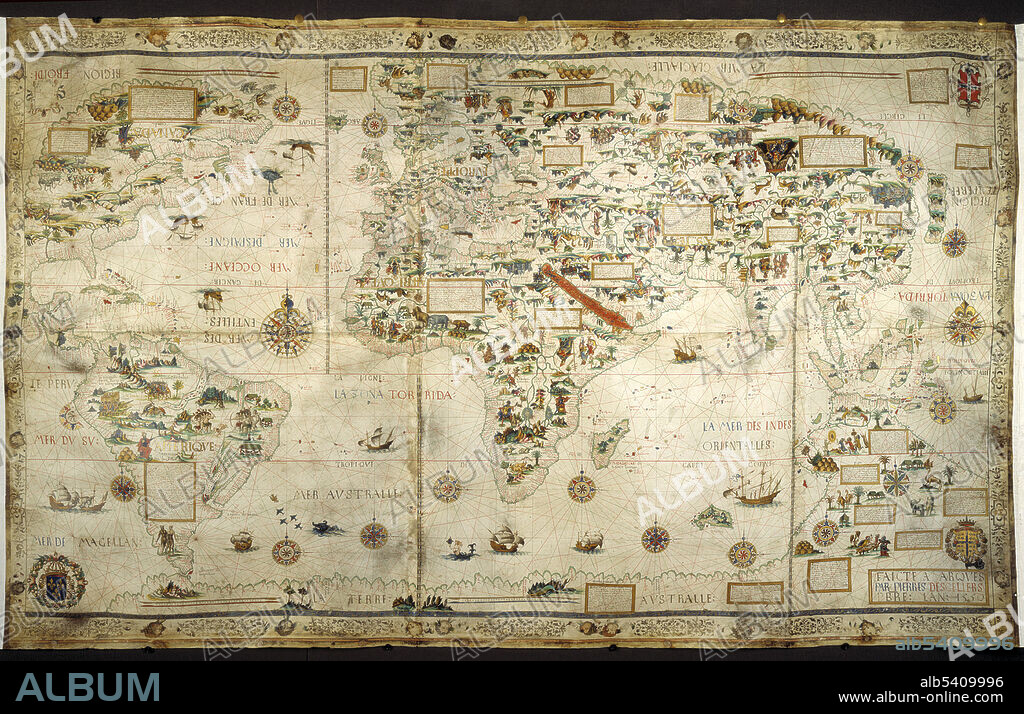
Pierre Desceliers, World Map,1550

|
Ajouter à une autre Lightbox |
|
Ajouter à une autre Lightbox |


Avez-vous déjà un compte? S'identifier
Vous n'avez pas de compte ? S'inscrire
Acheter cette image.
Sélectionnez l'usage:

Titre:
Pierre Desceliers, World Map,1550
Légende:
Voir la traduction automatique
The 1550 world map, with illuminated borders, made for Henry II, showing his arms as well as those of Anne de Montmorency (Marshal of France) and Admiral Claude d'Annebaut. Pierre Desceliers (1500 - 1558) was a French cartographer of the Renaissance and an eminent member of the Dieppe School of Cartography. He is considered the father of French hydrography. Nothing is known of his life after the creation of the 1553 map.
Crédit:
Album / Science Source / British Library
Autorisations:
Taille de l'image:
5400 x 3484 px | 53.8 MB
Taille d'impression:
45.7 x 29.5 cm | 18.0 x 11.6 in (300 dpi)
Mots clés:
16E SIECLE • 16EME S • CARTE • CARTOGRAPHIE • CÉLÈBRE • CELEBRITE • GEOGRAPHIE • MAPPEMONDE • PLANISPHERE • SCIENCE: CARTOGRAPHIE • SEIZIÈME SIÈCLE • XVIE SIECLE
 Pinterest
 Twitter
 Facebook
 Copier le lien
 Email
Email
