alb4069961
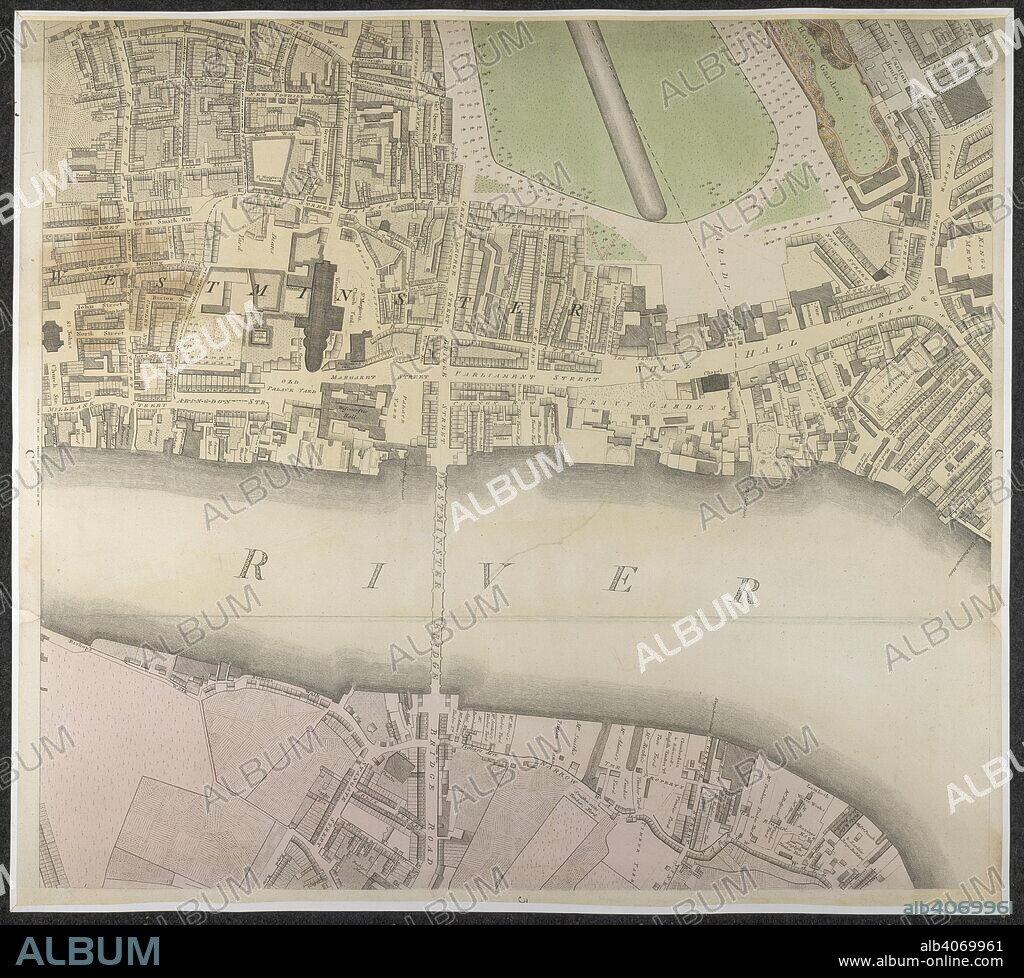
Westminster. A section of a map showing Westminster Bridge Road. . Source: Maps.Crace.5.173, 11. Language: English.

|
Ajouter à une autre Lightbox |
|
Ajouter à une autre Lightbox |


Avez-vous déjà un compte? S'identifier
Vous n'avez pas de compte ? S'inscrire
Acheter cette image.
Sélectionnez l'usage:

Légende:
Voir la traduction automatique
Westminster. A section of a map showing Westminster Bridge Road. . Source: Maps.Crace.5.173, 11. Language: English.
Crédit:
Album / British Library
Autorisations:
Taille de l'image:
5368 x 4848 px | 74.5 MB
Taille d'impression:
45.4 x 41.0 cm | 17.9 x 16.2 in (300 dpi)
Mots clés:
ANGLETARRE • ANGLETERE • ANGLETERRE • ARCHITECTURE: PONT • AUTOROUTE • BRIDGE • CARREFOUR • CARTE (GEOGRAPHIE) • CARTE GEOGRAPHIQUE • CARTE • CARTOGRAPHIE • COUPE TRANSVERSALE • CROISEE DES CHEMINS • DESSIN PLANS • EUROPE • FLEUVE TAMISE • FLEUVE • GRANDE BERTAGNE • GRANDE BRETAGNE • GRANDE-BRETAGNE • HIGHWAY • INFRASTRUCTURE • INGLATERRA • LONDRES • LONDRES, VUE SUR • LONDRES, VUE • PASSERELLE • PLAN (CARTOGRAPHIE) • PLANS • PONT (ARCHITECTURE) • PONT DU GARD • PONT • PONTS • RIO • RIVIÈRE FLEUVE • RIVIERE • RIVIRE • RIVIRE • ROYAUME UNI • ROYAUME-UNI • RUE • SCIENCE: CARTOGRAPHIE • TAMISE • TAMISE, FLEUVE • TOPOGRAPHIE • VUE LONDRES • WESTMINSTER
 Pinterest
 Twitter
 Facebook
 Copier le lien
 Email
Email
