alb5362109
map, British Isles, Great Britain, geography, historical,
| Partager |
|---|
 Pinterest Pinterest |
 Twitter Twitter |
 Facebook Facebook |
 Copier le lien Copier le lien |
 Email Email |
|
Ajouter à une autre Lightbox |
|
Ajouter à une autre Lightbox |


Avez-vous déjà un compte? S'identifier
Vous n'avez pas de compte ? S'inscrire
Acheter cette image.
Sélectionnez l'usage:

Titre:
map, British Isles, Great Britain, geography, historical,
Légende:
Voir la traduction automatique
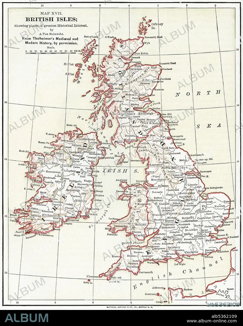
Map XVII, British Isles, by A. Von Steinwehr, from Thalheimer's Medieval and Modern History, Illustration, Ridpath's History of the World, Volume III, by John Clark Ridpath, LL. D., Merrill & Baker Publishers, New York, 1897
Crédit:
Album / Universal Images Group
Autorisations:
Taille de l'image:
3801 x 4845 px | 52.7 MB
Taille d'impression:
32.2 x 41.0 cm | 12.7 x 16.1 in (300 dpi)
Mots clés:
16E SIECLE • 16EME S • ANGLETARRE • ANGLETERE • ANGLETERRE • CARTE (GEOGRAPHIE) • CARTE GEOGRAPHIQUE • CARTE • COULEUR • DESSIN PLANS • EUROPE • GEOGRAPHIE • GRANDE BERTAGNE • GRANDE BRETAGNE • GRANDE-BRETAGNE • ILE • ÎLES • ILLUSTRATION • INGLATERRA • MILLESIME • OCEAN ATLANTIQUE • PLAN (CARTOGRAPHIE) • PLANS • ROYAUME UNI • ROYAUME-UNI • SEIZIÈME SIÈCLE • VERTICALE • XIXE SIÈCLE • XVIE SIECLE
