alb3192646
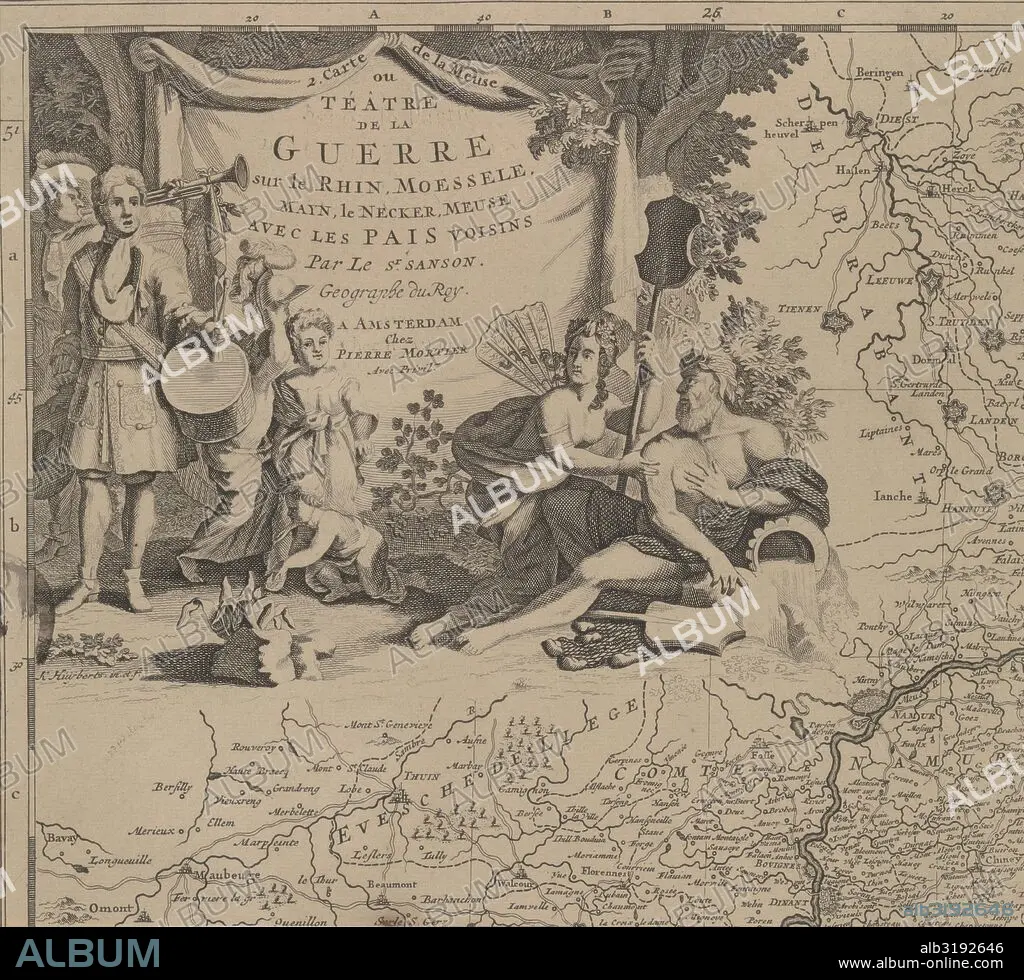
Map of the area east and south of Brussels and the county of Namur (leaf left) Belgium, Cornelis Huyberts, Sanson, Pieter Mortier, 1689 - 1712.
| Partager |
|---|
 Pinterest Pinterest |
 Twitter Twitter |
 Facebook Facebook |
 Copier le lien Copier le lien |
 Email Email |
|
Ajouter à une autre Lightbox |
|
Ajouter à une autre Lightbox |


Avez-vous déjà un compte? S'identifier
Vous n'avez pas de compte ? S'inscrire
Acheter cette image.
Sélectionnez l'usage:

Légende:
Voir la traduction automatique
Map of the area east and south of Brussels and the county of Namur (leaf left) Belgium, Cornelis Huyberts, Sanson, Pieter Mortier, 1689 - 1712
Crédit:
Album / quintlox
Autorisations:
Modèle: Non - Propriété: Non
Questions sur les droits?
Questions sur les droits?
Taille de l'image:
5314 x 4812 px | 73.2 MB
Taille d'impression:
45.0 x 40.7 cm | 17.7 x 16.0 in (300 dpi)
Mots clés:
AMANTS • AMOUR • BEAUTE • BELGIQUE • BEUATÉ • BRUXELLES • CARTE (GEOGRAPHIE) • CARTE GEOGRAPHIQUE • CARTE • CARTOGRAPHIE • CASQUE DE PROTECTION • CASQUE • CORNISTE • DESSIN PLANS • EST • FEUILLE • FEUILLE, MOTIFS • FEUILLES • GEOGRAPHIE • HEROISME • HOLLANDAIS • HOLLANDAISE • HOMME • INSTR. MUS. TAMBOUR • INSTR. MUS. TROMPETTE • MARS (PLANETE) • MARS • MARS, PLANETE • MONDE • MOTIFS, FEUILLE • OCCUPATION • ORIENT • PLAN (CARTOGRAPHIE) • PLANETE MARS • PLANS • PLANTE: FEUILLE • PUTTO • REGIONS • SCIENCE: CARTOGRAPHIE • SENTIMENT: AMOUR • SUD • TAMBOUR (INSTRUMENT) • TAMBOUR • TAMBOUR, INSTR. MUS. • TROMPETTE • TROMPETTE, INSTR. MUS. • VETEMENT: HOLLANDAIS
