alb3828114
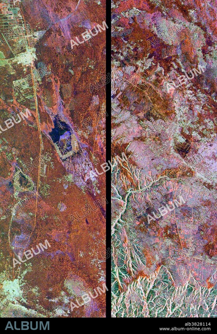
Great wall of China, satellite image

|
Ajouter à une autre Lightbox |
|
Ajouter à une autre Lightbox |


Avez-vous déjà un compte? S'identifier
Vous n'avez pas de compte ? S'inscrire
Acheter cette image.
Sélectionnez l'usage:

Titre:
Great wall of China, satellite image
Légende:
Voir la traduction automatique
Great wall of China, satellite images. These images show two segments of the wall, both in a desert in north-Central China. The wall is the thin orange line running vertically in the left image and from upper centre left to lower right in the right image. These segments of the wall were built in the 15th century, during the Ming Dynasty and measure between 5 and 8 metres tall. The combined length of these two segments is 150 kilometres. At the centre of the left image are dry lake beds (blue) that have been developed for salt extraction. Image taken by the Spaceborne Imaging Radar aboard the Space Shuttle Endeavour.
Crédit:
Album / SCIENCE SOURCE/NASA
Autorisations:
Modèle: Non - Propriété: Non
Questions sur les droits?
Questions sur les droits?
Taille de l'image:
2445 x 3576 px | 25.0 MB
Taille d'impression:
20.7 x 30.3 cm | 8.2 x 11.9 in (300 dpi)
Mots clés:
15 15E 15EME XV XVE XVEME SIECLE • 15E SIECLE • 15EME S • ARCHÉLOGIE • ARCHEOLOGIE • ARCHÉOLOLOGIE • ASIE • ASIE, CONTINENT • BASSE • CONTINENT ASIE • COSMOS • DEUX • DUO • GEOGRAPHIE • MUR • ORBITE • QUINZIÈME SIÈCLE • SATELLITE • XVE SIECLE
 Pinterest
 Twitter
 Facebook
 Copier le lien
 Email
Email
