alb3408391
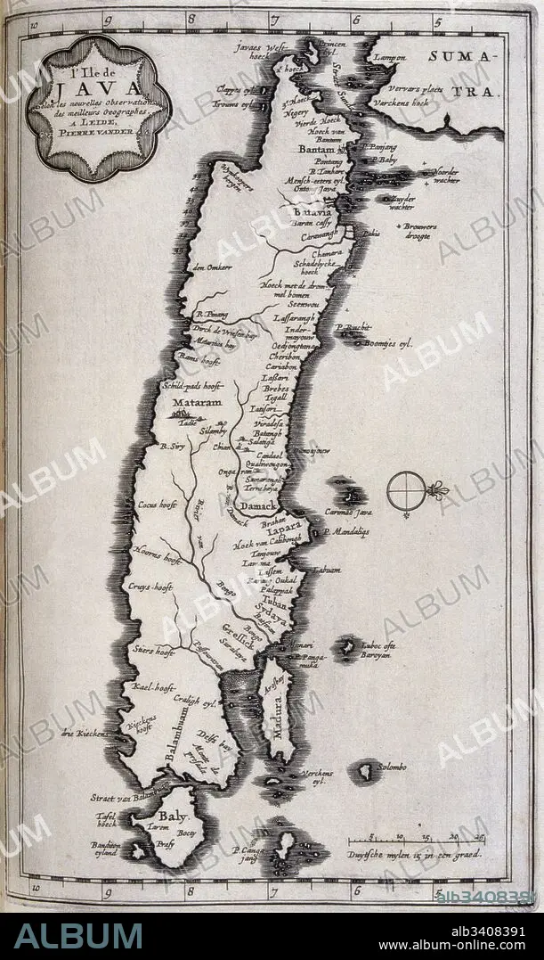
Map of Java in the Dutch East Indies, circa 1680, 17th century.
| Partager |
|---|
 Pinterest Pinterest |
 Twitter Twitter |
 Facebook Facebook |
 Copier le lien Copier le lien |
 Email Email |
|
Ajouter à une autre Lightbox |
|
Ajouter à une autre Lightbox |


Avez-vous déjà un compte? S'identifier
Vous n'avez pas de compte ? S'inscrire
Acheter cette image

Titre:
Map of Java in the Dutch East Indies, circa 1680, 17th century.
Légende:
Voir la traduction automatique
Map of Java in the Dutch East Indies, circa 1680, 17th century. Illustration from voyages made to Persia and India 1727, by Johan Albrecht de Mandelslo (1616–1644). seventeenth-century German adventurer, who wrote about his travels through Persia and India.
Crédit:
Album / Universal Images Group / Universal History Archive \ UIG
Autorisations:
Modèle: Non - Propriété: Non
Questions sur les droits?
Questions sur les droits?
Taille de l'image:
3043 x 5100 px | 44.4 MB
Taille d'impression:
25.8 x 43.2 cm | 10.1 x 17.0 in (300 dpi)
Mots clés:
17E SIECLE • 17EME S • CARTE (GEOGRAPHIE) • CARTE GEOGRAPHIQUE • CARTE • CARTOGRAPHIE • DESSIN PLANS • DIX-SEPTIÈME SIÈCLE • ECRITURE LIVRES • HISOIRE • HISTOIRE • ILLUSTRATION • INDE • INDES • JAVA • LIVRE (OUVRAGE) • LIVRE • LIVRES • PLAN (CARTOGRAPHIE) • PLANS • PRISE DE VUES EN STUDIO • SCIENCE: CARTOGRAPHIE • VERTICALE • XVIIE SIECLE
