alb3930435
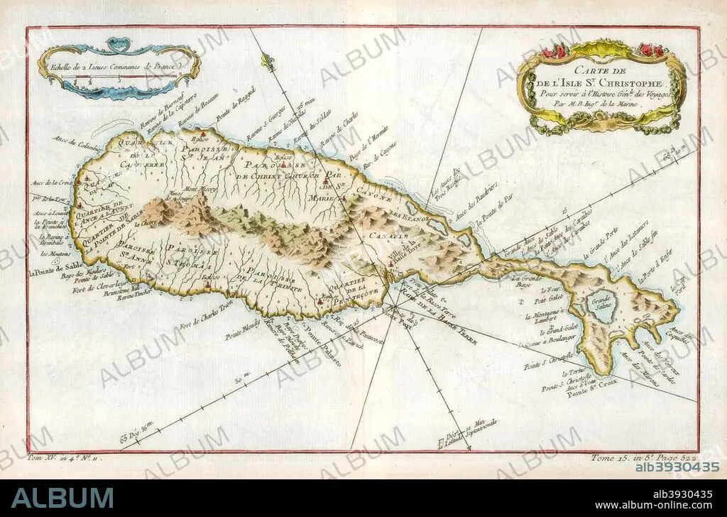
Map of the Caribbean island of St Christopher, c1764. Artist: Unknown
| Partager |
|---|
 Pinterest Pinterest |
 Twitter Twitter |
 Facebook Facebook |
 Copier le lien Copier le lien |
 Email Email |
|
Ajouter à une autre Lightbox |
|
Ajouter à une autre Lightbox |


Avez-vous déjà un compte? S'identifier
Vous n'avez pas de compte ? S'inscrire
Acheter cette image.
Sélectionnez l'usage:

Titre:
Map of the Caribbean island of St Christopher, c1764. Artist: Unknown
Légende:
Voir la traduction automatique
Map of the Caribbean island of St Christopher, c1764.
Crédit:
Album / The Print Collector / Heritage Images
Autorisations:
Modèle: Non - Propriété: Non
Questions sur les droits?
Questions sur les droits?
Taille de l'image:
5141 x 3391 px | 49.9 MB
Taille d'impression:
43.5 x 28.7 cm | 17.1 x 11.3 in (300 dpi)
Mots clés:
