alb1651447
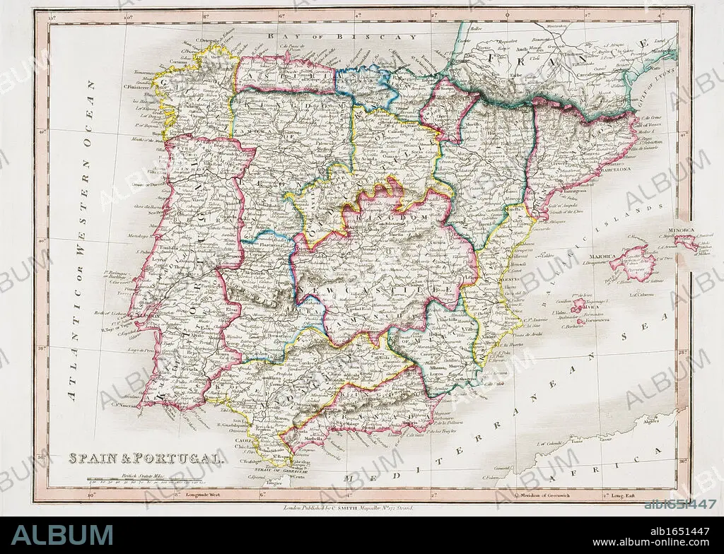
Map of Spain and Portugal from Smith's General Atlas published London 1850 by C. Smith Mapseller Number 172 The Strand.
| Partager |
|---|
 Pinterest Pinterest |
 Twitter Twitter |
 Facebook Facebook |
 Copier le lien Copier le lien |
 Email Email |
|
Ajouter à une autre Lightbox |
|
Ajouter à une autre Lightbox |


Avez-vous déjà un compte? S'identifier
Vous n'avez pas de compte ? S'inscrire
Acheter cette image

Légende:
Voir la traduction automatique
Map of Spain and Portugal from Smith's General Atlas published London 1850 by C. Smith Mapseller Number 172 The Strand
Crédit:
Album / Universal History Archive/Universal Images Group
Autorisations:
Modèle: Non - Propriété: Non
Questions sur les droits?
Questions sur les droits?
Taille de l'image:
5259 x 3756 px | 56.5 MB
Taille d'impression:
44.5 x 31.8 cm | 17.5 x 12.5 in (300 dpi)
Mots clés:
CARTE (GEOGRAPHIE) • CARTE GEOGRAPHIQUE • CARTE • CARTOGRAPHIE • COULEUR • DESSIN PLANS • ESPAGNE • GÉNÉRAL CONFÉDÉRÉ • GENERAL • GÉNÉRAUX • GNERAL • HISOIRE • HISTOIRE • HISTORIQUE • HORIZONTALE • IBERIAN • KEN • LONDRES • LONDRES, VUE SUR • LONDRES, VUE • PÉNINSULE • PLAN (CARTOGRAPHIE) • PLANS • PORTUGAL • PRESQU'ILE • SCIENCE: CARTOGRAPHIE • VUE LONDRES • XIXE SIÈCLE
